Town Walk 2025 - Part 02 - Chaucer Old Park
w/e 06 July 2025
This part equates to Stages 03 and 04 of the original
Town
Walk that started in 2002.
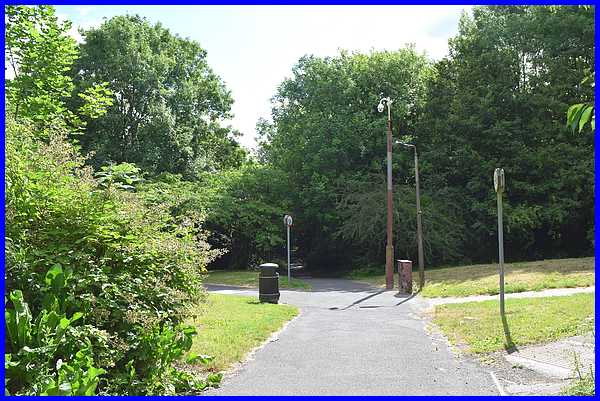
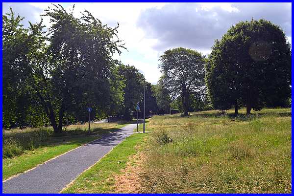
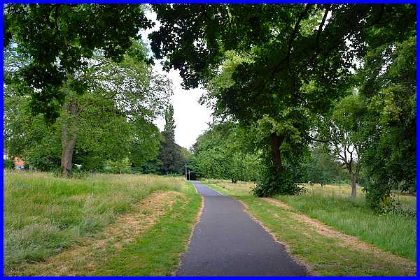
After going through the underpass under Chalons Way we reach
Chaucer Old Park. From 2002: "Beyond the underpass
is a network of footpaths but carrying straight on under the
gaze of the security camera the tarmac path leads to Chaucer
Old Park." The paths are still the same although the
trees are much higher now and there is now a litter bin and also
signs indicating where cycling is permitted and on which paths
it is not.
|
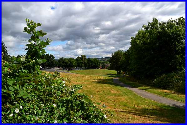
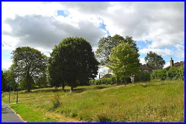
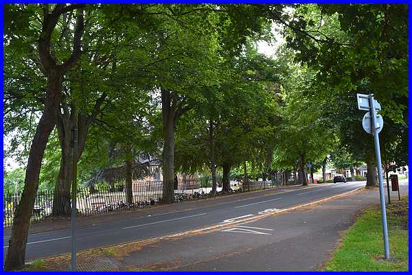
From the grassy bank off the path to the left in November 2002
it was possible to see Chaucer Junior School over the playing
fields, and Bennerley Viaduct and Awsworth in the distance but
the views are much more restricted now partly because of the
higher trees but also because of their summer leaves.
|
From the path to the right in 2002, I followed an unmade footpath
through the former orchard of Dalby House to join the central
tarmac path further down. All remnants of that unmade path have
now disappeared.
|
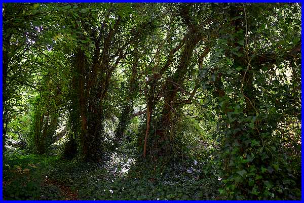
I did try to force my way through the undergrowth and between
the trees but it was an impossible task and I had to admit defeat.
|
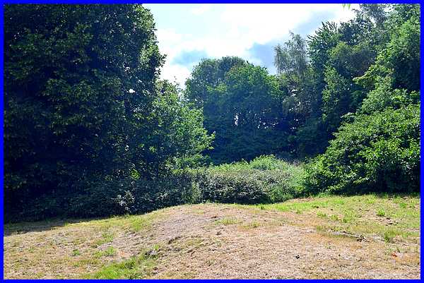
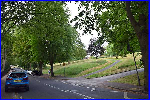
Rejoining the path from the museum "the view opens
up onto an area of parkland officially known as Chaucer Old Park
but popularly goes by the name 'Illy 'Oleys." That is
still true today but the main difference is the Council's Green
Agenda means that only the verges are now mown and the rest is
left to return to meadow.
|
Although known as 'Illy 'Oleys or more correctly
Hilly Holeys, many are still unaware of the origin of the name.
|
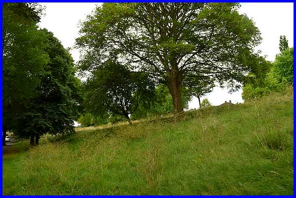
It's worth repeating therefore that "the
name is actually a derivation of the hills and holes caused by
mineral extraction a long, long time ago. The "hills"
are apparent in this picture ....."
|
".... And the "holes" - or the
remains of them - here."
|
In December 2002 the next picture included in the Town Walk was
one from earlier, January in fact. It showed this view back along
the path towards the museum but then it was a foggy day with
a dog sniffing in the grass and a ghostly figure walking away
from the camera. Today dogs are still regularly seen here and
cyclists can often be seen too on what is now designated a cycle
route.
|
'Illy 'Oleys is the remains of a much larger park that stretched
right down to the River Erewash.~ Part of that land is occupied
by "Park Cemetery which opened in 1892 in response to
the population growth in the town." In December the
cemetery was visible from this side of Cantelupe Road but in
the summer of 2025, tree growth is once again obscuring the view.
|
