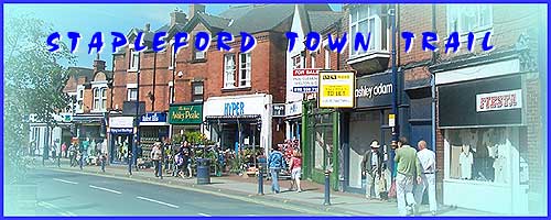
Stapleford - Part 4 - Pinfold and Wesley
w/e 26 October 2008
All this week's pictures were taken
with a Kodak DX6490
One thing I have noticed during the first three parts
of this series is the number of times phrases and words such
as "formerly", "previously" and "used
to be" have crossed my mind for much of Stapleford's history
and heritage has succumbed to twentieth century development.
It's a similar story in much of Part 4 but whereas I have been
able to resort to old images at the Picture The Past website
in earlier instalments, that source, apart from a couple of images,
also seems to have run dry in this particular area.
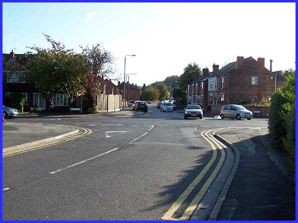
We resume our walk at the opposite end of Mill Road to where
we left off in Part 3 and our route will take us across Church
Street into Pinfold Lane.
|
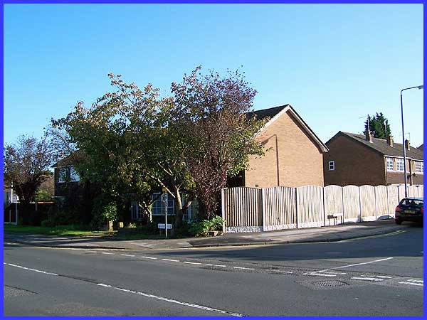
Currently on the left hand corner of Pinfold Lane and Church
Street is a row of undistinguished town houses but they occupy
the site where the Manor House once stood. This was built by
George Jackson in 1689 and was here for nearly three hundred
years before being demolished in 1970. But the Manor House too
replaced an earlier house on the site owned by Newstead Abbey. Regrettably this is another
case of "formerly", "previously" and "used
to be".
|
It is man's seemingly insatiable urge to move on, modernise and
change that has led to much of the heritage being lost so the
Stapleford and District Local History Society are to be congratulated
on producing the Town Trail leaflet to preserve the knowledge
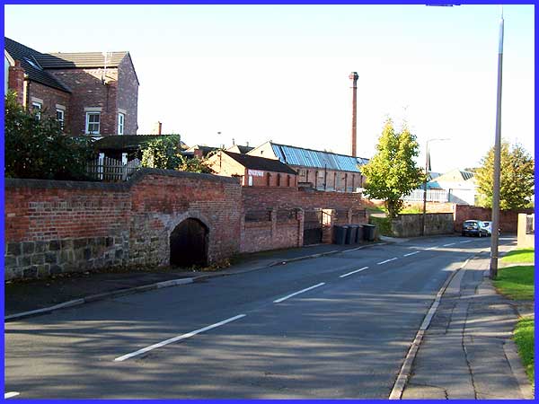
about the area that remains. The leaflet indicates a position
on Pinfold Lane at the opposite end to the Manor House site where
there was a secure enclosure or pinfold. This held stray animals
until they were reclaimed by their owners and the position of
the pinfold was here. The leaflet states that the ancient wall
remains but I am not 100% sure as to which wall that reference
refers.
|
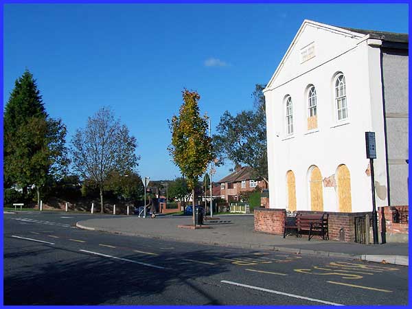
 Pinfold
Lane meets Wesley Place at a combined junction with the main
Nottingham Road and it is here that something of the past does
remain in the shape of the Wesley Place Chapel. The Chapel was
built near where theologian, evangelist, and founder of the Methodist
movement John Wesley Pinfold
Lane meets Wesley Place at a combined junction with the main
Nottingham Road and it is here that something of the past does
remain in the shape of the Wesley Place Chapel. The Chapel was
built near where theologian, evangelist, and founder of the Methodist
movement John Wesley 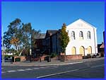 preached
in 1774. It was enlarged in 1848 becoming a Christian Education
Centre in the 1970s and the interior of the building is said
to have a fine hall and balcony. The leaflet says that it is
now the home of the Stapleford Volunteer Bureau and I had hoped
to follow the advice and ask at the reception to see the interior.
The boarded up windows and doors however suggest that further
change has taken place since the printing of the leaflet. Time
waits for no man but at least the exterior of the building is
still recognisable as a chapel. preached
in 1774. It was enlarged in 1848 becoming a Christian Education
Centre in the 1970s and the interior of the building is said
to have a fine hall and balcony. The leaflet says that it is
now the home of the Stapleford Volunteer Bureau and I had hoped
to follow the advice and ask at the reception to see the interior.
The boarded up windows and doors however suggest that further
change has taken place since the printing of the leaflet. Time
waits for no man but at least the exterior of the building is
still recognisable as a chapel.
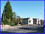
The couple of images I mentioned earlier at the Picture the Past
website both show similar views from from near the chapel. They
show a view from about 1900 and a 1977 view along Pinfold Lane.
|
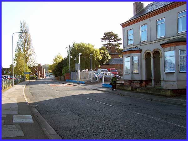
In the early parts of the series we walked away from the town
centre at The Roach towards Derby before retracing our steps
most of the way back again. Then we left the main road to explore
Warren Avenue and Mill Road. Now we have reached the main road
on the other side of The Roach and in similar fashion we will
follow this towards Nottingham to a point approximately where
the houses are on the left of this image. Again we will turn
to retrace our steps back as far as the Wesley Place Chapel and
in the next part there will be more historical buildings to be
seen than have been visible in this part - I promise!
|
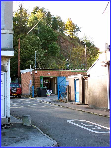
But before we conclude this section of the walk it is worth a
glance to the south where between the buildings a rocky red sandstone
hillside is clearly to be seen. There are a number of places
in the Erewash Valley where it is possible to see these rocky
outcrops that were deposited in the early Triassic period over
200 million years ago. I suspect that it was in this vicinity
that those French prisoners in the Napoleonic Wars were put to
work excavating rocks for road repairs. Not only did the French
word "roches" for rocks give rise to the name of The
Roach but nearby Sandiacre also owes its name to the sandstone.
It doesn't take much imagination either to see from where the
local motoring company Sandicliffe who have premises on Nottingham
Road derived its name.
|
