Stapleford - Part 3 - From the Hall to the Mill
w/e 28 September 2008
All this week's pictures were taken
with a Kodak DX6490
In the previous two parts of this Trail around Stapleford
Town Centre the name "Warren" has cropped up several
times and it is here again at the start of the third. In this
part though we shall bid a fond farewell to the Warren family
and begin to explore a little more of the town's history and
heritage.
The guide that we are following suggests walking to the "very
end of Warren Avenue" where the land was once the park of
Stapleford Hall which stood just to the left. The Hall was where
Sir John Borlase Warren was born who not only lived in the Hall
but went on to become an Admiral in the Navy and also an MP representing
Nottingham between 1796 and 1806. The Hall was demolished in
1935 and much of the parkland has since been built on. There
are however a number of images from the early 1900s at the Picture
the Past website showing the splendour of the Hall including,
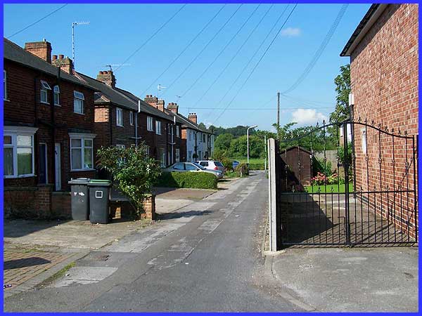
among others, two that show the South wing and East Wing. This view above in the vicinity
of the site as it looks today shows Warren Avenue Extension with
Oakfield Road to the right.
|
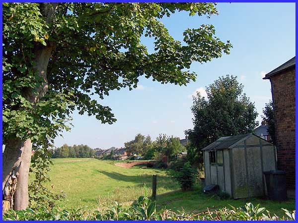
From Warren Avenue Extension the view to the north east behind
the properties on Oakfield Road now gives hardly a passing nod
to the open parkland that once surrounded the Hall which was
home to the Warren family from the 1670s. It would probably be
unrecognisable to the family if they were to be transported forward
to the present day.
|
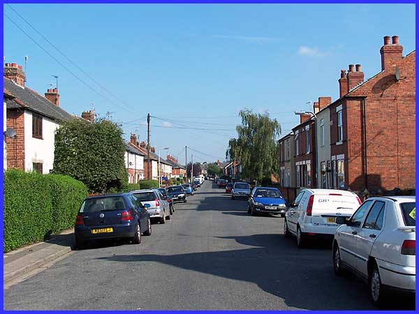
Symbols indicating trees on old maps cover the greater part of
this area and I would hazard a guess that many of those trees
were oaks. This could have given rise to this road being named
Oakfield Avenue when the building work originally took place.
Mind you, note that that is only a supposition on my part, but
our walk continues along the whole length of the road before
turning left into Mill Road.
|
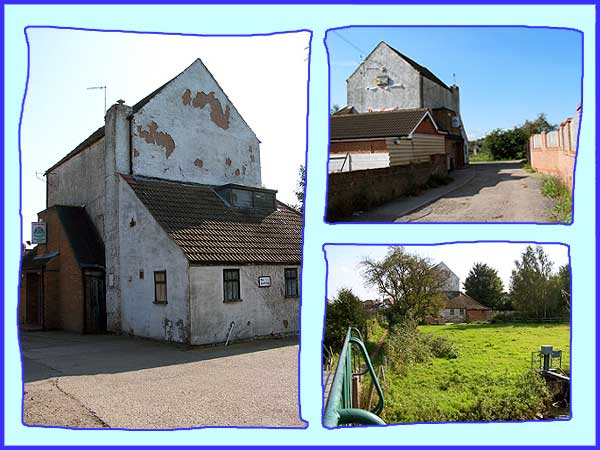
Our objective is the Old Mill Club at the end of Mill Road which
was originally a mill powered by water diverted from the River
Erewash. It was here that local wheat was ground into flour for
the village. These three views show the building from various
angles with the one at the bottom right being taken from the
footbridge that crosses the river.
|
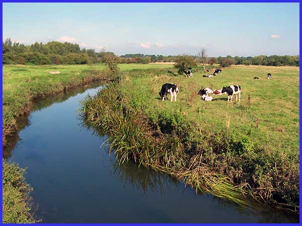
This view too northwards along the Erewash Valley was also captured
from the footbridge over the river. For much of its length the
Erewash is the boundary between Derbyshire to the west and Nottinghamshire
on the east. Through the centuries the valley has provided an
easy transportation route and beyond the hedgerow on the left
is not only the main north-south railway line but also the Erewash
Canal and the Ilkeston road out of neighbouring Sandiacre. In
more recent times the M1 London to Leeds motorway has also crossed
the valley and although it cannot be seen from here, it lies
between the trees in the middle distance and those on the horizon.
|
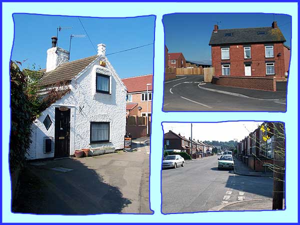
Returning past the Old Mill Club our route now takes us between
the Old Mill Cottage (above left) and another old building (top
right) both now standing adjacent to a new development, to continue
along Mill Road across the mouth of Oakfield Road (bottom right)
towards Pinfold Lane which is where we will resume in Part 4.
|
