Part 10 - Leopold Street to Lawrence Street
w/e 10 February 2019
All of this week's pictures were
taken with a Kodak DX6490
Information for this series has been sourced from
various places including the"Long Eaton Centenary Town Trail"
leaflet (CTT) and the"Long Eaton Townscape Heritage Initiative"
booklet (THI).
As we begin this tenth part of the Town Walk around Long
Eaton's centre, we are within touching distance of the start
and end point at the Town Hall but our route this time takes
us away from there along the Erewash Canal.
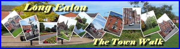
We pick up the route at the end of Leopold Street and turn right
over the canal bridge on Derby Road.
|
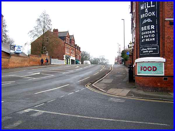
Across Derby Road from Leopold Street is Bridge Mills which was
the last steam powered lace factory to be built in Long Eaton.
|
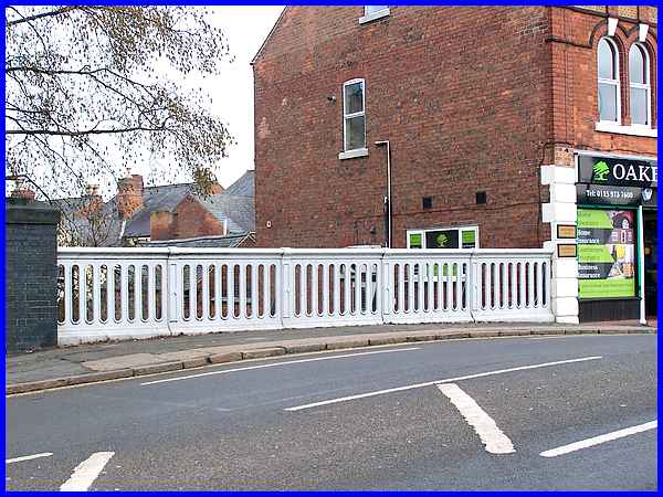
The bridge over the canal has stood here since 1779 when the
canal was first constructed but has been rebuilt twice since
then with the cast iron parapets dating from 1910.
|
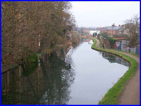
The CTT leaflet says that "a beautiful walk follows the
canal in both directions" and this is the view from the
bridge looking to the north. Today this is part of the western
side of the 30 mile Erewash Valley Trail.
|
To the south the canal continues to the River Trent and the southernmost
point of the Erewash Valley Trail at Trent Lock. Long Eaton Lock
that we passed on our way into West Park in Part 06, the first
lock on the canal after Trent Lock about a mile and a half away,
is just visible from the canal bridge and our route from here
takes us along the towpath towards the lock.
|
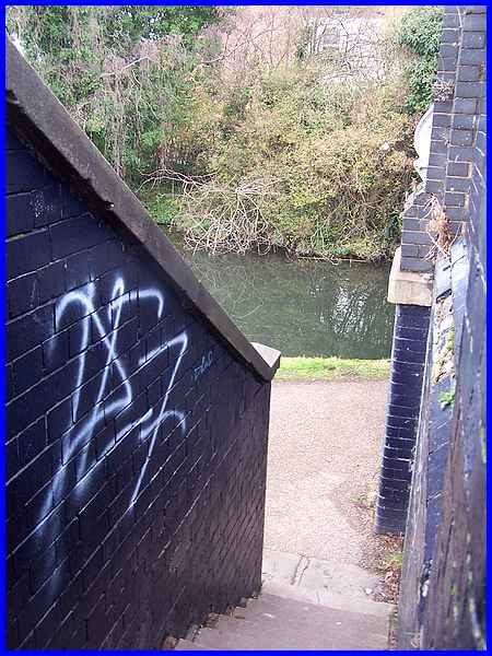
Access to the towpath is by means of a steep flight of steps
from Derby Road and opposite is an overgrown area of land that
once served as the Coal Wharf where the mineral would have been
unloaded to power the steam powered lace factories. Maps from
around 1900 show the wharf and electricity did not arrive in
the area until 1903. We shall see the generating station site
in the next part of the walk.
|
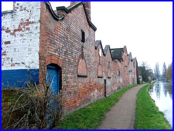
A little way along the towpath is the remaining section of the
Long Eaton Co-operative Society's machine bakery which dates
from 1907.
|
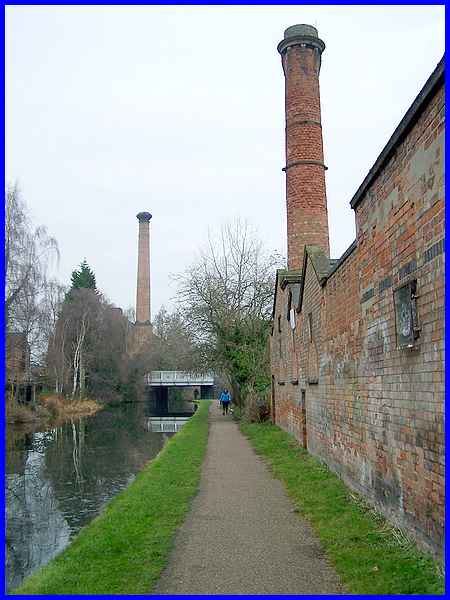
A note in the THI leaflet says of the bakery "The very poor
condition of the chimney was remedied with the help of a THI
grant to rebuild the head and re-point the shaft ...." but
in all honesty, some of the brickwork still looks in poor condition.
Looking back from here though towards the canal bridge also presents
a good view of another chimney, that of the 33m high structure
dating from 1902 at Bridge Mills that has a cast iron head.
|
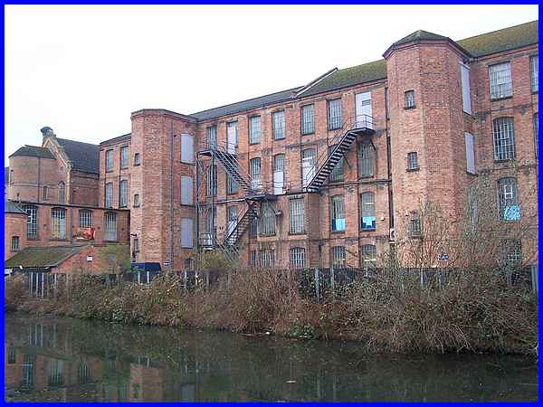
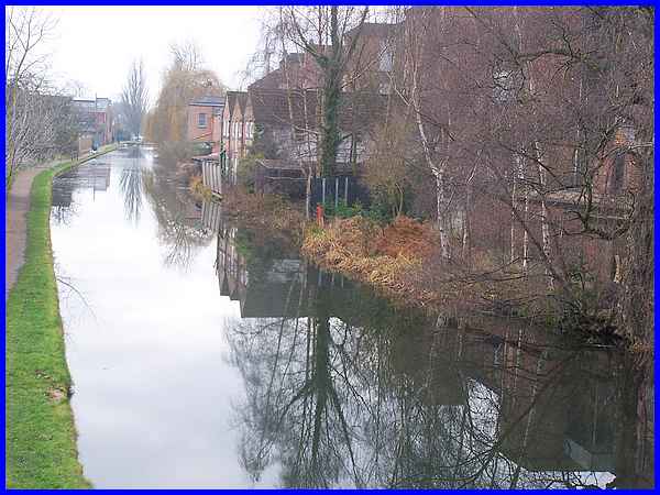
Continuing along the towpath, the view opposite is of the rear
of West End Mill which fronts onto Leopold Street and it shows
the canted cornered staircase turrets to good effect.
|
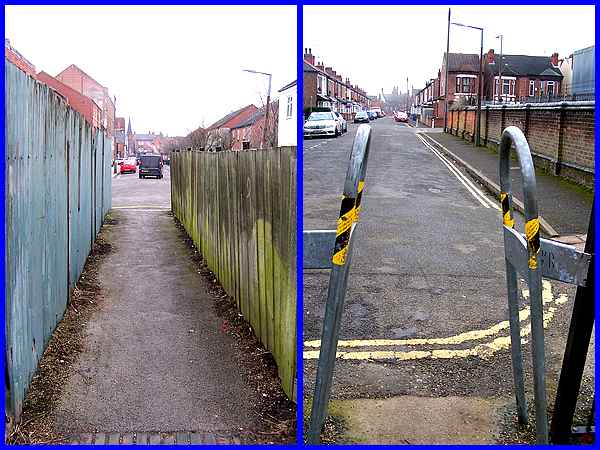
The THI leaflet now refers to two gateways on the left of the
towpath although there are gates at neither. The first is a passage
to Regent Street and the second which we will follow in the next
part leads to Lawrence Street where on the corner of Milner Road
is the aforementioned electricity generating station site.
|
