Autumn Footprints 2015 - Week One
w/e 20 September 2015
All of this week's pictures were
taken with a Kodak DX6490
This year's annual Walking Festival in Amber Valley
and Erewash was launched at the Shipley Country Park Visitor
Centre on Saturday 12th September by the respective Mayors of
the two Councils and in the presence of representatives of the
many groups who were contributing to the event by leading the
guided walks over the following sixteen days plus members of
the general pubic who had turned up for the opening walk.
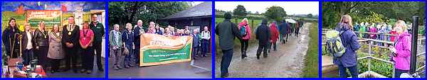
After photos of the Civic Party both inside and outside the Centre
and the presentation of commemorative badges to the walk leaders,
a group set off on a dull and showery morning for a three mile
walk around the park where there were other photo opportunities
along the way particularly at the Mapperley Reservoir.
Click this link
for more photos plus a route map of the opening walk.
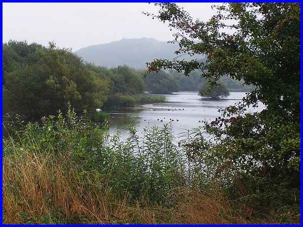
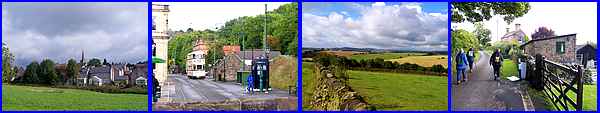
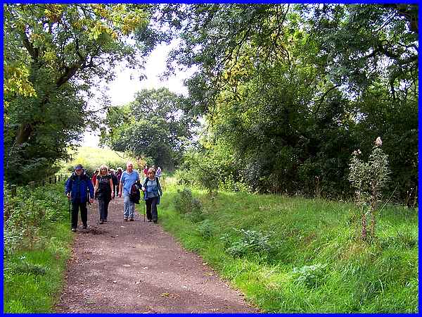
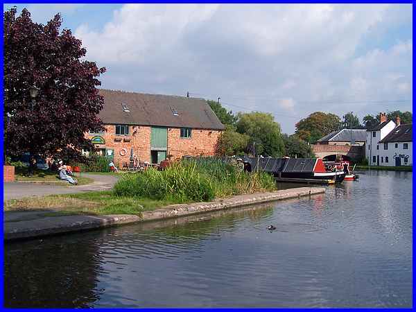
 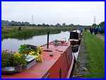 On the Monday of the first week of the Festival
I joined Long Eaton Ramblers at Trent Lock (left) for a walk
to the Attenborough Nature Reserve (above). In previous years
the Festival has usually enjoyed fine autumnal weather but this
Monday was a grey day with leaden skies and rain at the start
and end of the walk. The most colourful part of the walk was
provided by flowers on the narrow boats (right). On the Monday of the first week of the Festival
I joined Long Eaton Ramblers at Trent Lock (left) for a walk
to the Attenborough Nature Reserve (above). In previous years
the Festival has usually enjoyed fine autumnal weather but this
Monday was a grey day with leaden skies and rain at the start
and end of the walk. The most colourful part of the walk was
provided by flowers on the narrow boats (right).
|
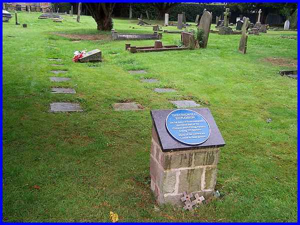
The title of the walk was "Homage to the Canary Girls"
and en route called in the churchyard at Attenborough Church
to view the memorials and the graves of some of the unnamed victims
of the explosion at the Chilwell Shell Filling Factory on July
1st 1918 which killed 139 workers.
Click this link
for more photos plus a route map of the Attenborough walk.
|
Tuesday was a much brighter day although there was the odd shower
whilst out walking "North of Crich" with the Heanor
and District Local History Society.
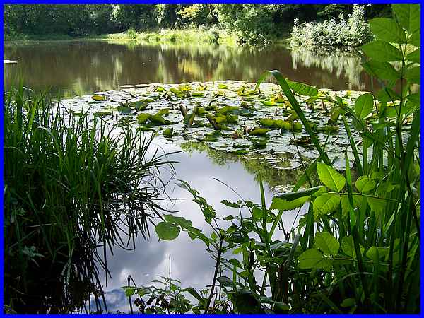
We stopped for a break in the walk at a delightful spot north
of the hamlet of Wheatcroft near Lindway Springs and basked in
the warm September sunshine whilst eating a picnic lunch.
|
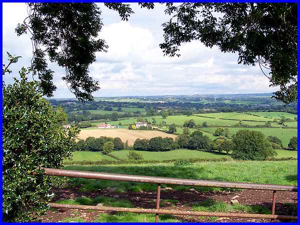
Both on the way to Lindway Springs and back again to Crich we
were treated to some splendid views over the surrounding countryside.
It is said that at one time seven counties were visible from
the high ground around Crich. Boundary changes may mean that
this is no longer true but on a clear day it is possible to see
the Cathedral at Lincoln.
Click this link
for more photos plus a route map of the Crich walk.
|
There were more pleasant views to be enjoyed on Wednesday this
time between Risley and Hopwell with the Risley Conservation
Group. Rain was forecast to arrive just after lunch and it was
touch and go whether the walk would end before it arrived. In
the event the rain didn't reach this part of the world so we
completed the walk in almost perfect walking conditions.
|
For part of this "Risley Heritage Walk" we followed
the long distance footpath known as the Midshires Way.
Click this link
for more photos plus a route map of the Risley walk.
|
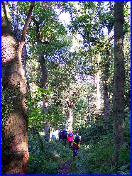
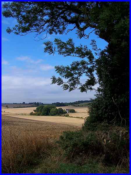
I had a "rest day" on Thursday but on Friday I travelled
north to join the Amber Valley Ramblers for their "Alfreton
Park" walk, much of which was in Shaw Wood. A fine day with
sunshine providing dappled light through the trees.
|
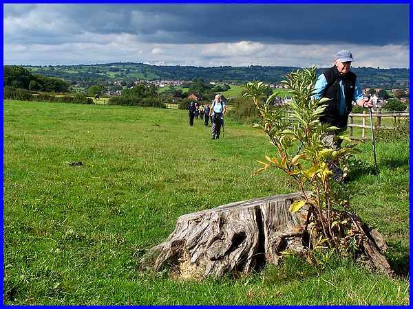
The walk passed through Openwoodgate and returned to Alfreton
over field paths and although the skies in front had only fine
weather cloud, the view back to Openwoodgate showed impending
rain cloud approaching. Fortunately the rain held off until the
end of the walk.
Click this link
for more photos plus a route map of the Alfreton walk.
|
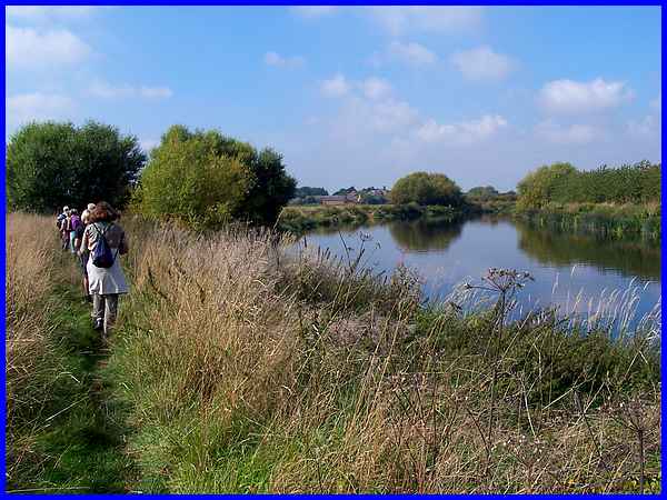
Saturday was a return to summer with a blazing sun bearing down
on us as we made our way to Shardlow. This time I had joined
the Long Eaton Ramblers again at Trent Lock but this walk was
in the opposite direction by the River Trent to their Monday
walk on that grey day at Attenborough.
|
We lunched outside the Heritage Centre in Shardlow before returning
to Trent Lock via the Trent and Mersey Canal (a route we have
followed earlier this year in the Village Trail series on this
website). From the mouth of the Derwent we continued along the
River Trent, Sawley Cut past the Marina where we had earlier
called on the way to Shardlow before retuning to the Trent path
back to our starting point.
Click this link
for more photos plus a route map of the Shardlow walk.
At the end of the first week of the Autumn Footprints Festival
I had walked about 35 miles and with more walks booked for the
second week will hopefully cover approximately the same distance.
|
