Trowell Circular - Part 02
w/e 04 August 2013
All this week's pictures were taken
with a Kodak DX6490
In this part we continued along the line of the disused
Nottingham Canal to reach the northernmost point of the circuit
before dropping down to the Erewash Canal to head south along
the towpath.
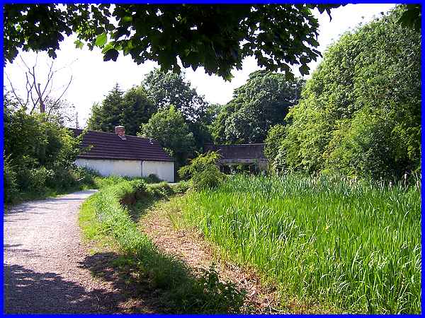
After passing under the motorway bridge on Nottingham Road at
Trowell we climbed up the path to resume on the towpath of the
Nottingham Canal. The road and the canal arc round in opposite
directions to meet again in a short distance but the road has
risen to pass over the bridge seen here at the side of the cottage.
I have seen this cottage described as the abode of the lock keeper
but there doesn't appear to have been a lock in close proximity
so I have my doubts as to the veracity of the description.
|
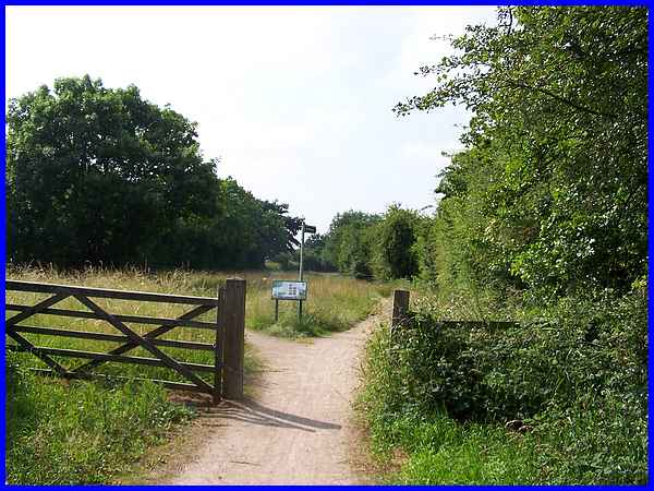
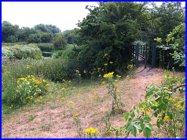
Beyond the bridge the path narrows for a little way before opening
out again after this gate to the full width of the canal. Here
the path splits to run down both sides of the canal which has
now been turned into an area of grassland. The information board
is headed "Grassland For Wildlife" and it includes
images of several different species of butterfly that such expanses
encourage. A fascinating fact used as an introduction on the
board is that in the UK since 1930, it has been estimated that
99% of our wildflower rich grasslands have been lost to agricultural
intensification, lack of traditional management and pressure
from developments.
|
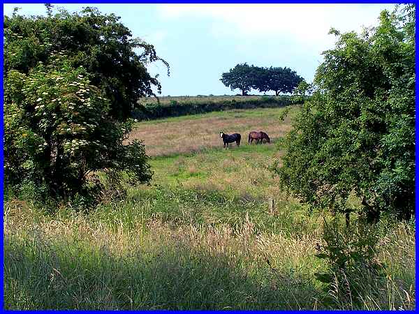
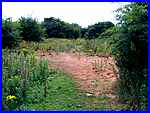
We took the narrower left hand path from the information board
as it was sheltered from the heat of the afternoon sun and although
we saw very few butterflies we did spot across the waist high
grass, a couple of horses grazing on the hillside on the other
side of the canal.
|
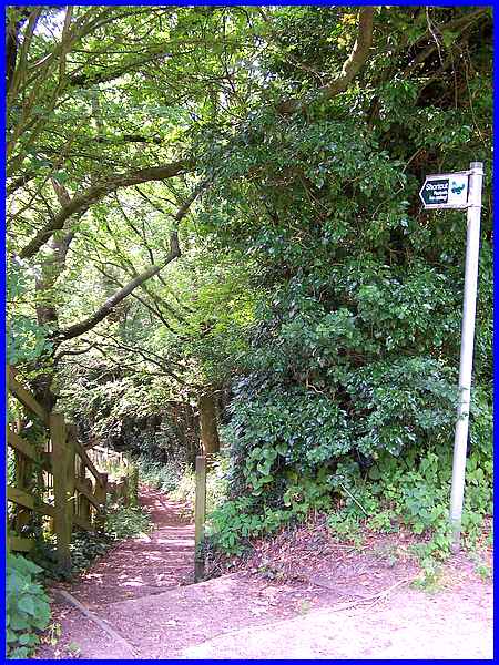
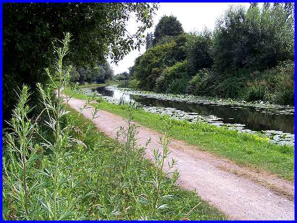
We continued along the old canal for about half a mile until
we reached this "Shortcut" signpost on the Erewash
Valley Trail. This marks the point where the Trowell Circular
route links with at least two previous walks we have undertaken
in this area. The steps lead down to Stoney Lane and were used
near the conclusion of a Sentimental Journey through Cossall
(link
to relevant page) and also at the end of the Dragonfly Trail.
|
Both the aforementioned walks, like this Trowell Circular, cross
Stoney Lane and the railway bridge near the former Trowell Station
site. From the bridge the Gallows Inn Playing Field at Ilkeston
is visible but on this walk we don't enter the town but turn
left on reaching the road to head back towards Trowell along
Ilkeston Road. Between the railway bridge and the road the booklet
describing the route says that evidence of an ancient stone path
can be seen. It also states that this is part of the Monks Way
which was laid a slab at a time by monks and can be followed
from Stanton By Dale to Cossall and Strelley to Lenton Abbey.
I have always been puzzled how this section of the path fits
in with the route we followed in the Monk's Way series as it doesn't seem to tally
and is on a different line to that route.
|
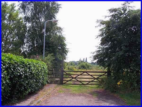
On meeting the road it is advisable to cross straight away as
it is on a corner with a pavement only on the far side. This
is the northernmost point of the walk and the route now is to
the left for about 100 yards and then into a short side road
called The Forge which ends at this gate and stile. I indicated
in Part 01 that this walk links with several others and the stretch
from The Forge back towards Ilkeston is where we started the
Nottingham Road section of the First Impressions
series.
|
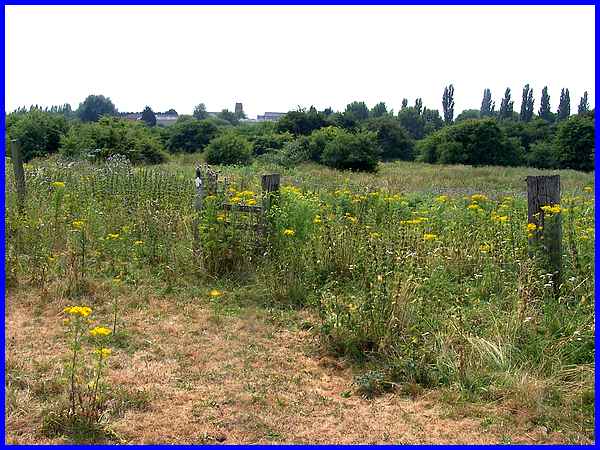
We climbed over the stile at the end of The Forge and referred
to the booklet for directions: ".... bear right to enter
a grass meadow. Aim for the large factory with a tall chimney
....". The factory mentioned may have been Charnos but that
has been demolished and a housing estate now occupies the site.
The tallest structure in view was the tower of the former St
Bartholomew's Church at Hallam Fields which was the general direction
in which we needed to head.
|
  We weaved our way through the scrub following
little used paths and tracks in the general direction avoiding
bovine deposits in the process. The objective was a narrow green
bridge over the River Erewash which eventually came into view.
This was a good day to follow this route as in wet weather the
area is prone to flooding and the meadow is also often occupied
by cattle - of which I'm not fond! We weaved our way through the scrub following
little used paths and tracks in the general direction avoiding
bovine deposits in the process. The objective was a narrow green
bridge over the River Erewash which eventually came into view.
This was a good day to follow this route as in wet weather the
area is prone to flooding and the meadow is also often occupied
by cattle - of which I'm not fond!
|
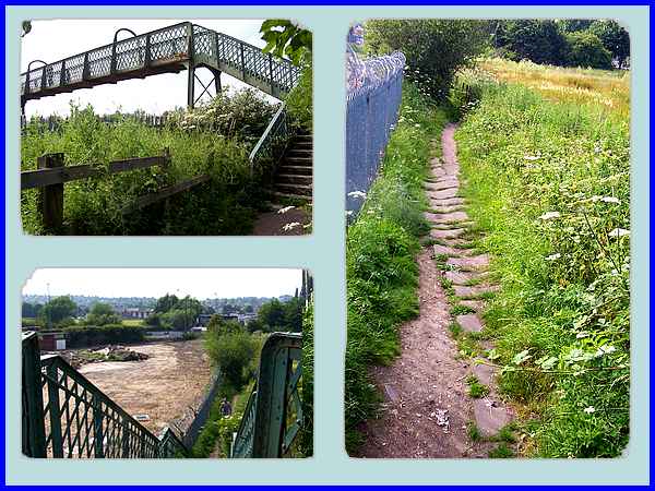
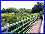
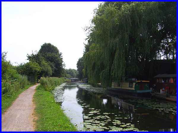
A short path from the bridge rises slightly to reach the Erewash
Canal towpath. Locally this is also known as the Bottom Cut distinguishing
itself from the former Nottingham Canal or Top Cut on the other
side, and at a higher elevation, of the Erewash Valley.
|
Another left turn and we were soon at the Hallam Fields Lock
on the canal, a place that has featured several times previously.
See the following pages with other images of the lock captured
at various times.
Hallam
Fields Industrial Trail from 2005
Locks
on the Erewash Canal from 2006
Lock
To Lock from 2009
and Trowell
- Spring Boards from 2012
In the third and final part of this Trowell Circular walk we
continue from Hallam Fields Lock along the Erewash Canal and
back to our starting point near Pit Lane.
|
