Stanton By Dale - A Wander
w/e 25 February 2018
All of this week's pictures were
taken with a Kodak DX6490
 It
was way back in 2003 that we followed a Village Trail and looked
at Stanton By Dale in some detail. Since then whilst we have
passed through many times, the village has fallen beneath the
radar as far as pictures for this site is concerned so a return
is probably long overdue. In essence the village has remained
largely unchanged in the intervening fifteen years but there
have been some imperceptible changes that have gradually taken
place and we noticed one or two during this wander through part
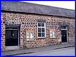
of the village that we began at the solidly built Village Hall
in Stanhope Street. It
was way back in 2003 that we followed a Village Trail and looked
at Stanton By Dale in some detail. Since then whilst we have
passed through many times, the village has fallen beneath the
radar as far as pictures for this site is concerned so a return
is probably long overdue. In essence the village has remained
largely unchanged in the intervening fifteen years but there
have been some imperceptible changes that have gradually taken
place and we noticed one or two during this wander through part
of the village that we began at the solidly built Village Hall
in Stanhope Street.
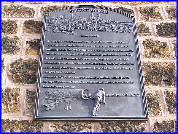
One thing we immediately spotted was a large plaque on the Village
Hall and the date 2008 shows that this has been in place for
about ten years already.
Click here to see a larger image of the plaque - opens in a popup window
|
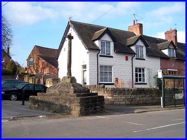
Across from the Village Hall the mediaeval cross looks pretty
much the same as it did fifteen years ago although there may
be a little less of the base as stone chunks have been knocked
out when passing vehicles have collided with it.
|
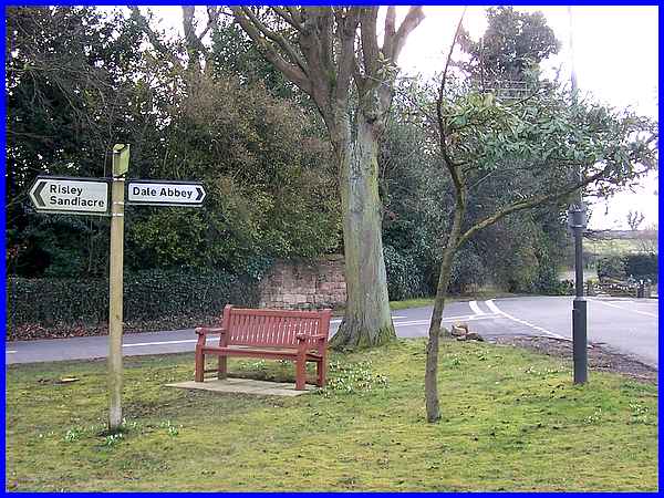
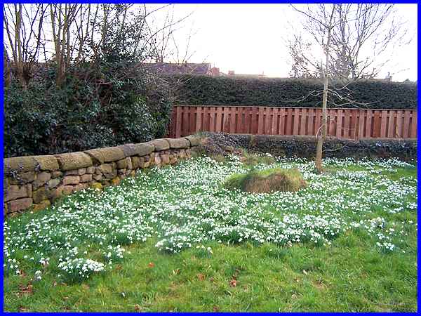
There's a small alteration to the green too where Stanhope Street
meets Dale Road and Main Street with the addition of a bench
currently surrounded by snowdrops and crocuses.
|
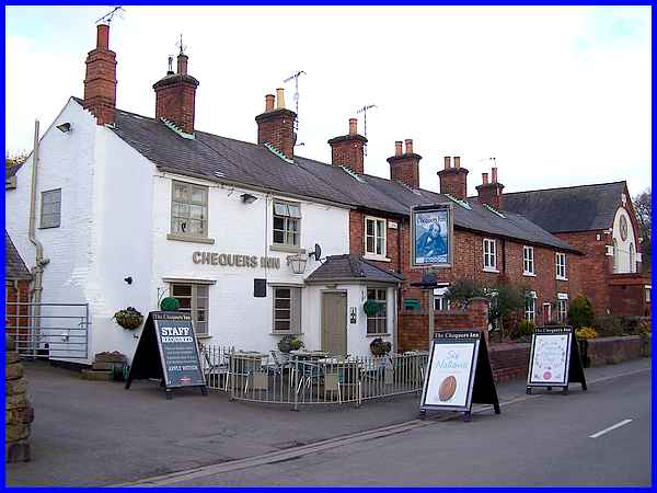
Around the corner in Dale Road the Chequers Inn has had a makeover
with a fence, new signs and a coat of white paint on the previous
yellow walls.
|
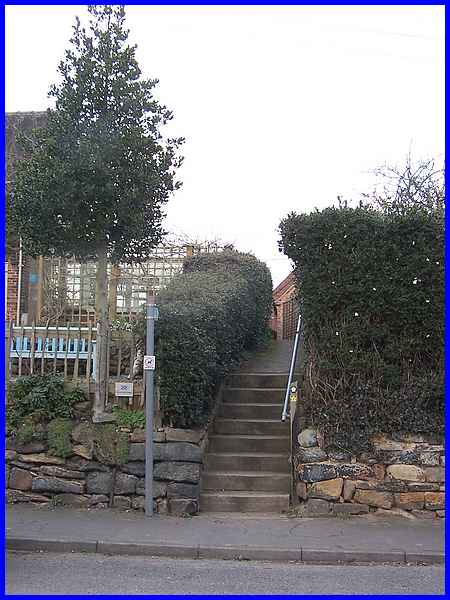
There are a number of footpaths in and around Stanton By Dale
and the yellow way marker by the steps a little further along
Dale Road from the Chequers bears the number 2 and shows that
it is the route of the Country Walk in Erewash known as "The Walk In The Clouds". We climbed
the steps and walked along the jitty.
|
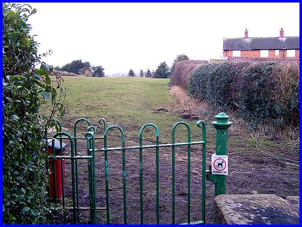
The led to a kissing gate and a footpath across two fields.
|
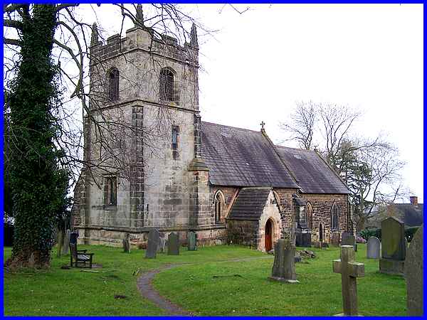
Another gate took us via the back entrance into the churchyard
of St Michael's which again as it dates from the early 1300s
looks no different to an earier view from here in 2003.
|
As we walked through the churchyard to leave by the main gate
we noticed a delightful corner with an abundant display of snowdrops.
|
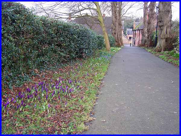
And by the drive (Church Lane) from the church gate to Stanhope
Street, early crocuses and primroses are supplementing more snowdrops.
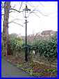 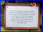
On the other side of the path and partially hidden by the tree
is a lamp and a plaque on the wall that indicates it was made
by Stanton Ironworks. The plaque also says "It has been
erected on behalf of the pilot and crew of a 630 Sqdn Lancaster
bomber as a memorial to their flight engineer, Flt. Sgt. Bill
Cox, DFM, later killed on a training flight in the Stirling aircraft
crash at Grove Farm in this parish on 31st August 1944."
|
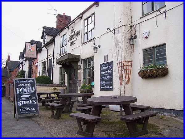
At the end of Church Lane we turned right to walk back along
Stanhope Street in front of The Stanhope Arms which like the
village cross stands opposite the Village Hall. Also like the
Chequers, the front of the Stanhope has benefited since our 2003
visit with a coat of paint and new inn signs.
To make the comparisons for yourself and learn more about Stanton
By Dale click here for the
index to the Village Trail from 2003.
|
