Stanley Village -
Part 5 - Grundy's Corner
w/e 26 November 2006
All
this week's pictures were taken with a Kodak DX6490
 Our
penultimate part of this monthly series looking at Stanley Village
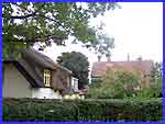
begins at St Andrew's Church and continues along Station Road
passing the thatched cottage and the old vicarage that we saw
in Part 4. It is only a short distance before we cross the mouth
of Glebe Crescent and approach a sharp right hand bend in the
road. Here we will make the first of two more of those little
detours from the main route to take in the recreation ground
and then continue along Station Road as far as New Street. A
short diversion into New Street is the second detour which will
leave us back on Station Road and ready for the final part of
the series. Our
penultimate part of this monthly series looking at Stanley Village
begins at St Andrew's Church and continues along Station Road
passing the thatched cottage and the old vicarage that we saw
in Part 4. It is only a short distance before we cross the mouth
of Glebe Crescent and approach a sharp right hand bend in the
road. Here we will make the first of two more of those little
detours from the main route to take in the recreation ground
and then continue along Station Road as far as New Street. A
short diversion into New Street is the second detour which will
leave us back on Station Road and ready for the final part of
the series.
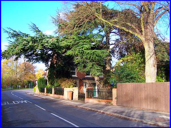
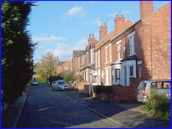
As we approach the ninety degree bend, there is a property on
the right called "The Cedars". The cottage used to
be occupied by the village's rate collector who was called Mr
Grundy and this led to the sharp corner being known as Grundy's
Corner.
|
Later a Mr Buller lived in a cottage here and Grundy's Corner
then became known as Bull's Corner. In fact it is still known
by that name today by some of the villagers even though new houses
have now been built here. (For the purposes of this page and
to maintain continuity I shall refer to the corner as Grundy's).
Towards the left of this image and just to the right of the chevrons,
a public footpath runs between the properties on the north side
of Station Road to the recreation ground.
|
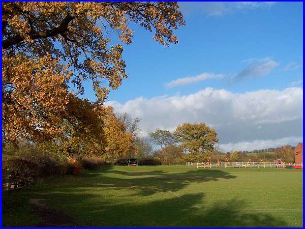
The recreation ground was developed by the owners of Stanley
Colliery and initially it was for the use of miners' children
only but when the mine closed, the land was gifted to the parish
council.
|
One condition of the gift was that the land would never be used
for housing. The post war years in the early 1950s saw the development
of adjacent land with homage made to the accession to the throne
in street names such as Queens Avenue and the main access to
the estate from Station Road, namely Coronation Road.
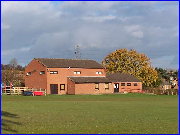
One building that has been allowed on the recreation ground though
is the Village Hall. Fund raising for this was started well before
the war but it took until 1985 before the hall was opened. It
is now a valuable asset in the village and a focal point for
many activities.
|
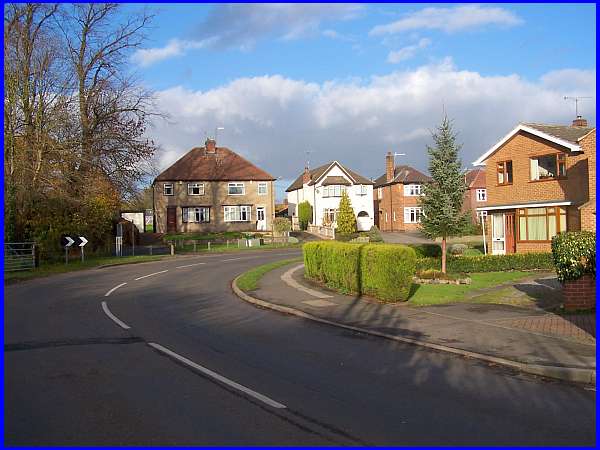
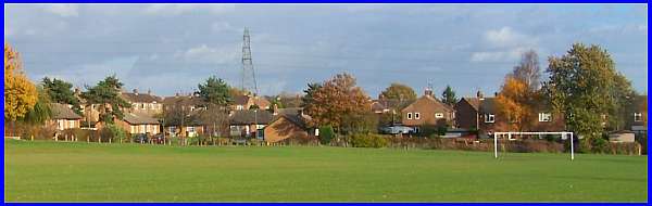
This series of four images above now shows our route from the
recreation ground to New Street. From left to right there is
the footpath back to Grundy's Corner with The Cedars directly
in front; the flower box on the corner with the properties on
the northern side of the road; the older properties on the southern
side that offer a contrast and are a reminder of the village
of years gone by and on the right, the top of New Street with
the Coronation Road Estate beyond.
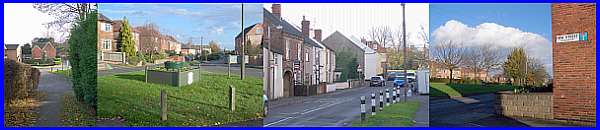
There is nothing really remarkable about New Street except it
is a "No Through Road" and runs down to a brook that
winds its way through the village.
|
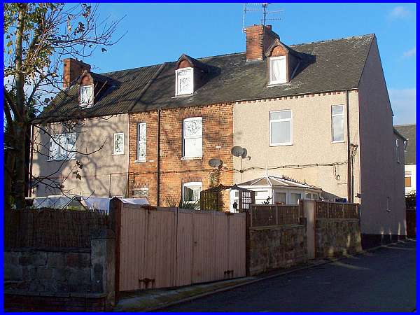
Within sight of the village is the Cat and Fiddle Windmill at
Dale Abbey but as Stanley is situated in a valley 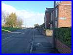 there was never a windmill in the confines
of the village itself. There was however a steam-driven corn
mill in the 1880s on what is now New Street and it was housed
in this building. It operated as Heath's Mill until 1890 but
soon after that it was converted into houses. More recently alterations
to the properties revealed grains of wheat in apertures in the
fourteen inch thick walls. there was never a windmill in the confines
of the village itself. There was however a steam-driven corn
mill in the 1880s on what is now New Street and it was housed
in this building. It operated as Heath's Mill until 1890 but
soon after that it was converted into houses. More recently alterations
to the properties revealed grains of wheat in apertures in the
fourteen inch thick walls.
Part 6 of our through Stanley will continue along Station Road
(right) and out of the village to conclude at the former Stanley
Colliery site.
|
