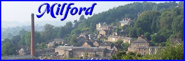
Milford Part 05 - Makeney Road
w/e 22 March 2015
All of this week's pictures were
taken with a Kodak DX6490
This third and final Heritage Walk around Milford
actually takes us along Makeney Road into the adjoining twin
community of Makeney. This is basically a linear walk although
the leaflet describing the route concludes by saying "Retrace
your steps to follow the other walks." As the sun was shining
and much of the route was directly towards it, several of these
images were taken "looking back" on our return to the
start.
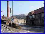  That start again, was at the interpretation
board at the end of Chevin Road (left) opposite the Strutt Arms.
This time we crossed Derby Road to go over the bridge on the
south side towards the King William pub (right). Crossing the
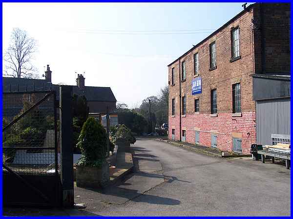
entrance drive to the Mill House pub took us past the wheel pits
that we had observed in the second walk and is why I thought
they would be better as part of this walk instead. That start again, was at the interpretation
board at the end of Chevin Road (left) opposite the Strutt Arms.
This time we crossed Derby Road to go over the bridge on the
south side towards the King William pub (right). Crossing the
entrance drive to the Mill House pub took us past the wheel pits
that we had observed in the second walk and is why I thought
they would be better as part of this walk instead.
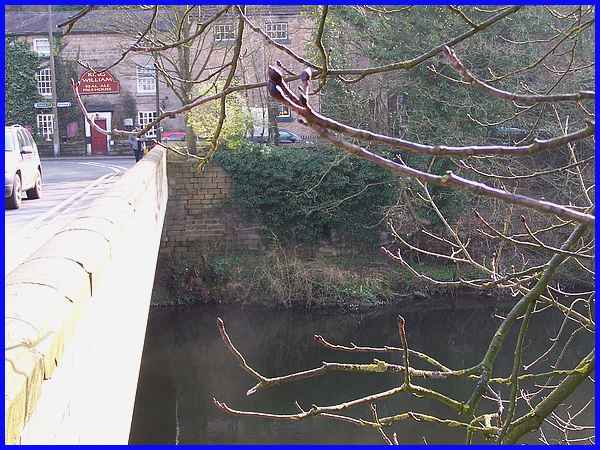
But having already viewed the wheel pits previously we continued
over the River Derwent where at the south-east corner of the
bridge are the remains of the former Toll House that was demolished
in 1906 when the bridge was widened.
|
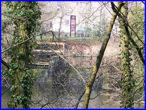
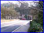
  Once over the bridge we turned right to follow
Makeney Road (left) by the side of the river. The leaflet advises
looking across the river to see the sluice gates of the old mill
but even at this time of year the intervening trees made good
views difficult. The one above was from about the best position
and the difference in the water levels can be seen. It also shows
the inn sign for the Mill House pub (right) behind which is the
rear wall of the Strutt Arms. Once over the bridge we turned right to follow
Makeney Road (left) by the side of the river. The leaflet advises
looking across the river to see the sluice gates of the old mill
but even at this time of year the intervening trees made good
views difficult. The one above was from about the best position
and the difference in the water levels can be seen. It also shows
the inn sign for the Mill House pub (right) behind which is the
rear wall of the Strutt Arms.
|
A little further along where the trees are less obstructive,
the sluice gates are no longer visible but there are some good
views of the weirs and a footbridge over the river.
|
It is the footbridge that we headed for. One problem when following
directions in publications from several years ago is that things
on the ground often change. In this instance the leaflet says
that a Garden Centre occupies the site of ancient forges and
a former Corn Mill built by the Strutts in 1820. Well the old
buildings are still there but it's hard to tell from the road
whether the Garden Centre is still a going concern.
|
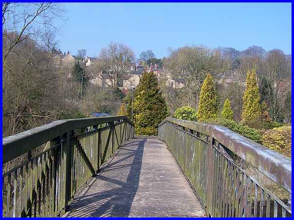
We entered the Garden Centre site however and went round what
is now a Fitness Centre to reach the footbridge. This bridge
was not installed over the river until 1976 but it replaced an
earlier suspension bridge designed by William Strutt in 1826.
The suspension bridge had been demolished shortly after the Second
World War.
|
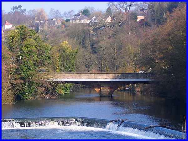
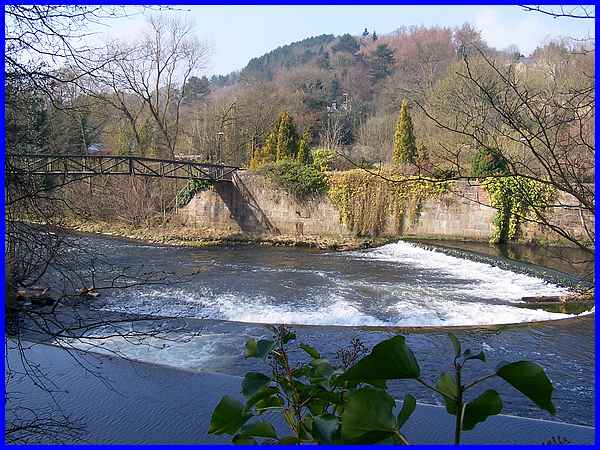
Zooming back upstream we were able to see what is probably the
best available view of the road bridge.The original bridge before
the road widening of 1906 was initiated by Jedediah Strutt and
was opened in 1793. It was handed over to the Turnpike Trust
and the tolls collected were not only for use of the bridge but
also the roads as well. It is interesting to note that the total
cost of construction of the bridge over both the river and the
cut that diverted water to the mill plus the toll houses was
under £2200 in the 1790s. Today the same work would probably
cost millions.
|
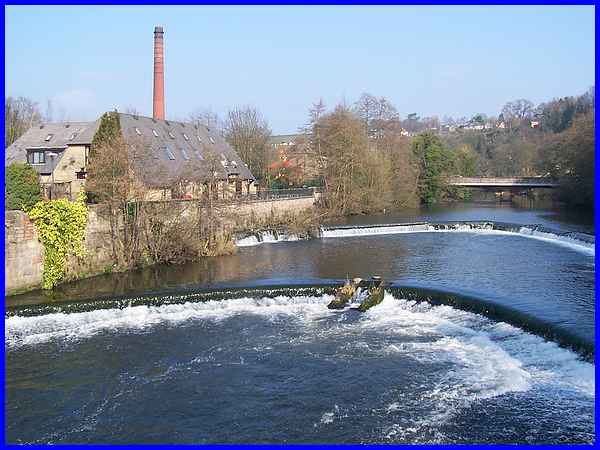
A wider view from the same point also shows the weirs and the
Mill House pub on the left. The sluice gates are hidden by the
trees between the pub and the road bridge. Although not easy
to see from here, the leaflet says to look for what appear to
be round stones at the edge of the river beneath the terrace
wall of the pub. It explains that these are "cakes of iron
slag from the forges."
|
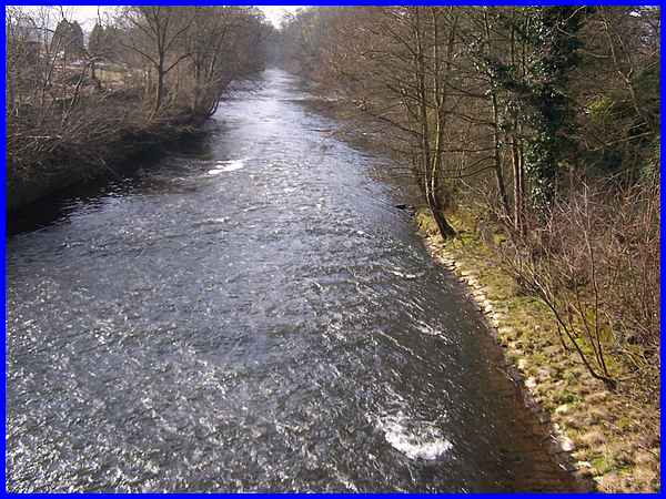
The view downstream from the footbridge is much more rural and
tranquil despite the fast flowing river.
|
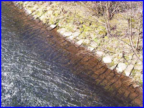
Apparently the speed of the water over the river bed is enhanced
by the paving which can be seen from the bridge. I still marvel
at the ingenuity of the pioneers of the industrial age - and
despair at the politicians of the 1980s that did their best to
destroy our national heritage by ruining much of our manufacturing
industry!
|
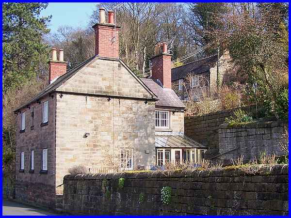
 After
enjoying the views up and down the river we returned to Makeney
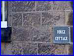
Road to continue the walk southwards. Opposite the Garden Centre
entrance is the stone built Forge Cottage. This was, as the name
suggests, originally the home of the forge manager and like many
more in Milford and Makeney is a Grade II listed building. Built
about 1830 on the site of an earlier building it was purchased
by the Strutts twenty five years later in 1855. There are more
cottages nearby where workers at the forges were housed and we
will begin the final part of this Village Trail around Milford
and Makeney a little further along Makeney Road. After
enjoying the views up and down the river we returned to Makeney
Road to continue the walk southwards. Opposite the Garden Centre
entrance is the stone built Forge Cottage. This was, as the name
suggests, originally the home of the forge manager and like many
more in Milford and Makeney is a Grade II listed building. Built
about 1830 on the site of an earlier building it was purchased
by the Strutts twenty five years later in 1855. There are more
cottages nearby where workers at the forges were housed and we
will begin the final part of this Village Trail around Milford
and Makeney a little further along Makeney Road.
|
