The Monk's Way - Cossall
Village
This page
added to site on 03 October 2004
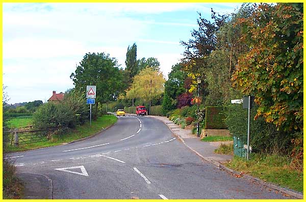
We have now almost reached the end of Robinettes
Lane and are on the very edge of Cossall Village. The lane that
winds its way through the village turns here to become Dead Lane
(on the left) and heads towards Trowell. On the right however
is the entrance to Manor Farm which is the next point of interest
on the Monk's Way.
|
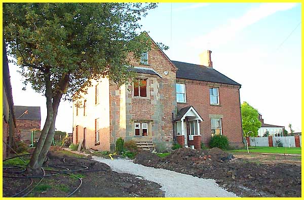
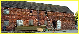 When
these pictures were taken the farmhouse was being extensively
renovated but despite its updated appearance, this is the site
of a mediaeval manor house. Other buildings on the farm including
this one to the right look much older. Originally the manor house
and the associated buildings were laid out in a walled rectangular
enclosure. They were then associated buildings were laid out
in a walled rectangular enclosure. They were then surrounded
by a moat. When
these pictures were taken the farmhouse was being extensively
renovated but despite its updated appearance, this is the site
of a mediaeval manor house. Other buildings on the farm including
this one to the right look much older. Originally the manor house
and the associated buildings were laid out in a walled rectangular
enclosure. They were then associated buildings were laid out
in a walled rectangular enclosure. They were then surrounded
by a moat.
|
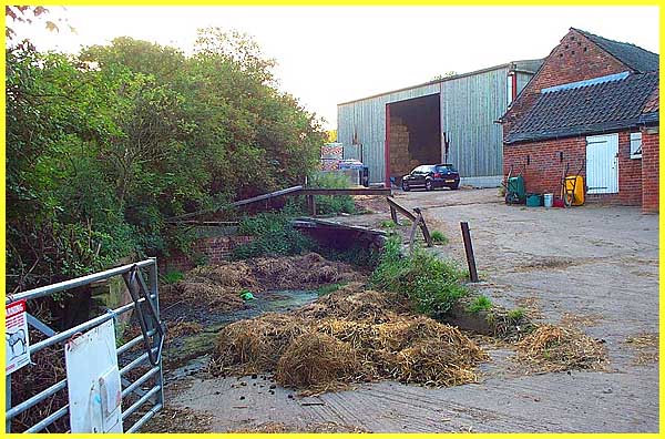
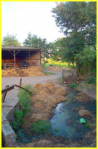
A remnant of that original moat still exists but
can only be seen if you know where to look. Seen here from the
farm gate it is directly in front and partially filled with straw
and stagnant water.
|
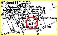 This
view looking back towards the gate probably gives a better impression
of the moat. The extract from the old map to the right indicates
the position of the moat which must have been quite a feature
in its heyday. This
view looking back towards the gate probably gives a better impression
of the moat. The extract from the old map to the right indicates
the position of the moat which must have been quite a feature
in its heyday.
The image of the map is reproduced from the www.old-maps.co.uk service with permission
of Landmark Information Group Ltd. and Ordnance
Survey.
|
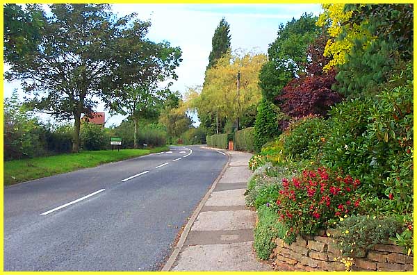
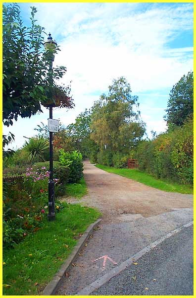
Returning to Robinettes Lane we turn right to continue
our trek along the Monk's Way. Robinettes Lane changes to Mill
Lane just beyond the "Cossall" sign on the left and
at the next bend in the road becomes Church Lane. Mill Lane at
the junction in the distance continues straight on but becomes
a bridle path.
|
Our route continues towards Ilkeston via the bridle
path but Cossall is an historic village and it is worthwhile
making a short detour along Church Lane to delve into some of
this history. Click
here to do just that and see a page I prepared some time
ago for my original web site, the forerunner to Ilkeston Cam,
but which I have now revised and amended for inclusion here.
|