West Hallam - By The
Nutbrook
w/e 23 June
2002
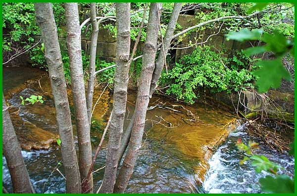
The walk continues from where last week's images left off along a path with the Nutbrook Canal
on the left. The guide I was following advises to look out for
some orange staining in the water caused by the water being pumped
from the nearby (now defunct) mine.
|
Because of the vegetation at the side of
the Nutbrook, it was difficult to get close to the edge but it
was also possible to see at the same place as the orange water
the remnants of lock number 9. This is also known as Limekiln
Lock.
|
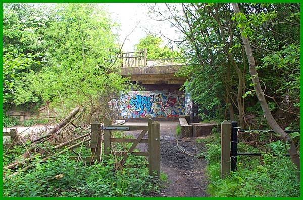
A litle further on, a left turn leads over
the water to an old railway bridge "decorated" by graffiti
artists. Somehow I feel the "art" is out of place here
but that seems to be the way of the world today.
|
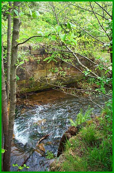
Pausing to look back towards the lock it
is difficult to imagine that this was once navigable. The track
on the right leads to Shipley Country Park and is part of the
Nutbrook Trail, a nine mile traffic free path from Long Eaton.
|
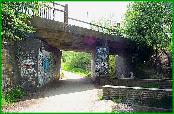
My route though was the opposite way under
the "decorated" railway bridge.
|
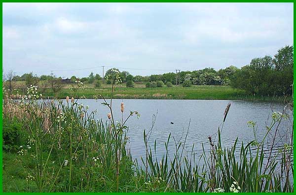
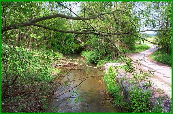
With the Nutbrook Canal now on the right,
the Trail runs alongside a small lake on the left. I've always
know this as Manner Floods but with the disappearance of the
collieries from the area it probably now has a more upmarket
name. A feature of the walk thus far has been the overhead network
bringing power to Ilkeston - the guide at one point gives directions
referring to one particular pole. For the most part I have been
able to keep them out of the photos but there is no escape in
this view across the floods.
Continued in Part
03 - "Pewit Carr"
|
