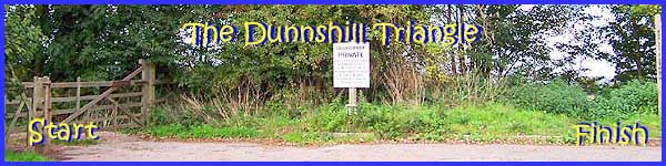
Dale Abbey - The Dunnshill Triangle
- Part 2 of 2
w/e 17 October 2004
All this week's pictures were taken
with a Kodak DX6490
The concluding part of our walk near Dunnshill starts
about half way along the second side of the triangle on the path
that runs in a north-easterly direction from Locko Park to the
long distance path known as the Midshires Way which will return
us to our starting point. A general map of the area can be seen
by clicking the link to Multimap at the top of this page but
this map at Streetmap.co.uk (opens a new window) gives
a more detailed view.
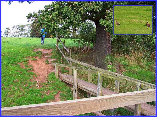
As we walked along the fence that separated us from the sheep
seen in Part 1 of this walk, a flurry of activity to our left
attracted our attention where a number of pheasants were giving
a fine impression of the cartoon character Roadrunner as they
scurried across the grass (inset). At the corner of the field
we crossed a wooden footbridge over a dry ditch to enter the
next field.
|
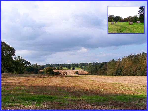
A little further on as we walked around the edge of another field,
the view towards Home Farm at Stanley showed the harvest had
been safely gathered in. Between here and the farm road to Locko
Grange Farm at what is probably one of the highest points of
the walk, we were surprised to find part of the path was well
and truly waterlogged. Picking our way gingerly through ankle
deep mud we eventually made our way across the farm access and
turned immediately right to head for the Midshires Way via a
field that bore a warning notice to keep dogs on a lead because
of sheep but contained nothing but bales of hay (inset).
|
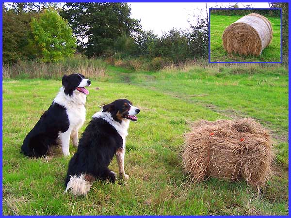
That last statement is not quite true as we did meet a lady here
exercising these two collies. It was here that we learned the
reason for the waterlogged fields. Apparently this used to be
an opencast area and the drainage is poor so that the fields
retain the moisture even in the driest of conditions.
|
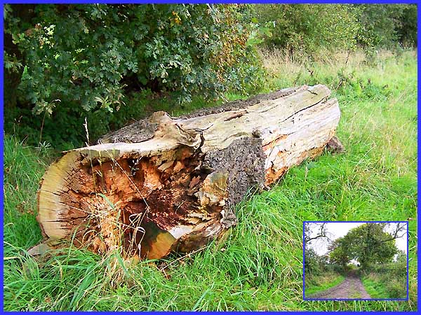
We were now on the Midshires Way where we passed this rotting
tree trunk that no doubt, is both a haven for insect life and
possibly a resting place for long distance walkers, at the side
of the muddy track (inset).
|
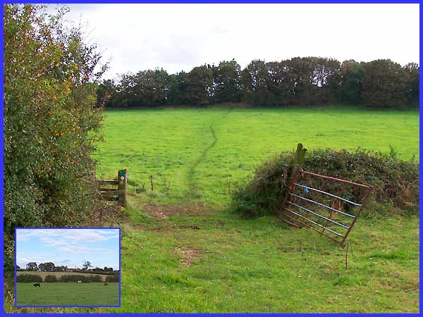
The track veers off to the left to Hollies Farm but the Midshires
Way continues through a couple more fields to rise up and pass
through the trees to return to Dunnshill. Both fields contained
cattle - not my favourite animals - so we did not waste any time
in completing our walk.
|
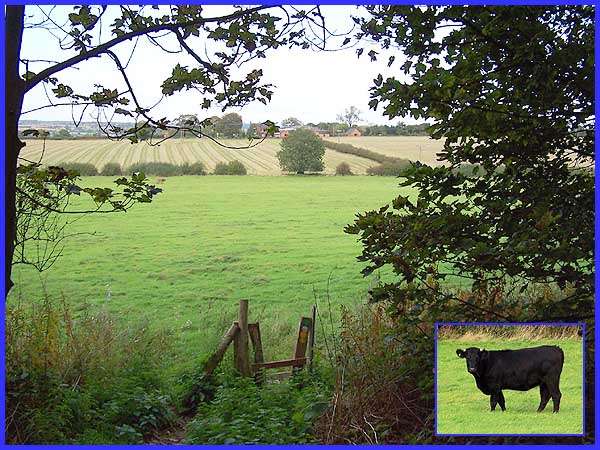
From the safety of the trees we could see Hollies Farm but a
quick scramble up the bank returned us to our starting point
and a ten minute drive saw us back home. Now all we have to do
is clean those muddy shoes ...
To start the walk over again click the image below.
|
