Cossall & Strelley - Part 01
w/e 05 June 2011
All this week's pictures were taken
with a Kodak DX6490
This walk around Cossall and Strelley is one of "100
Walks in Nottinghamshire" compiled by Malcolm Sales and
in his book that details the routes roughly in order of length,
it is listed at number 40 in a batch of five mile walks between
numbers 37 and 57.
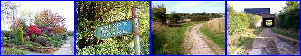
The route starts in Cossall Village at Robinettes Lane (above
left) and the first mile or so follows a bridle road in a south
easterly direction to pass under the M1 motorway (above right).
We covered this section way back in September 2005 and images
from that walk can be seen in "Scenes From A Bridle Road"
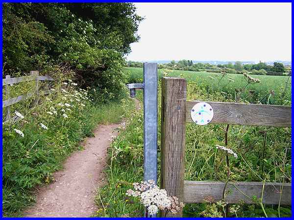
So, picking up the route on the other side of the motorway, the
bridle road rises up a gentle incline to meet and follow part
of the long distance footpath, the Robin Hood Way, in a north
easterly direction to Strelley village. The bow and arrow symbol
on the fence indicates the way to go and the small wooded area
on the left is Straw's Plantation whilst views ahead are over
the city of Nottingham.
|
A gap in the trees reveals the top of Catstone Hill and the Severn
Trent Water reservoir that was originally built for the Nottingham
Corporation Waterworks.
|
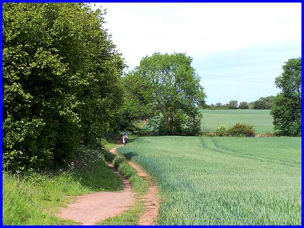
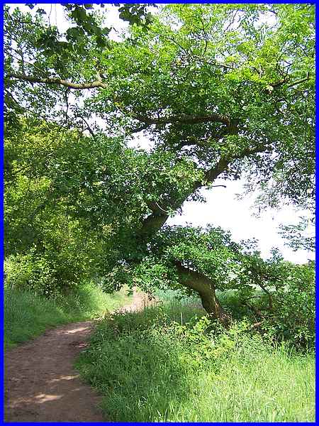
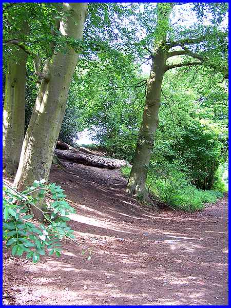
The path which is well used by walkers, horse riders and cyclists
follows the gentle undulations of the landscape but the dry conditions
that have prevailed for the spring months of March, April and
May were evident not only in the dusty surface but also in the
growth of the crops in the arable fields which were in desperate
need of water.
|
There was no reason for this image taken at the boundary of two
fields other than the unusual shape of the trunk which resembled
a "Z" or the number 2.
|
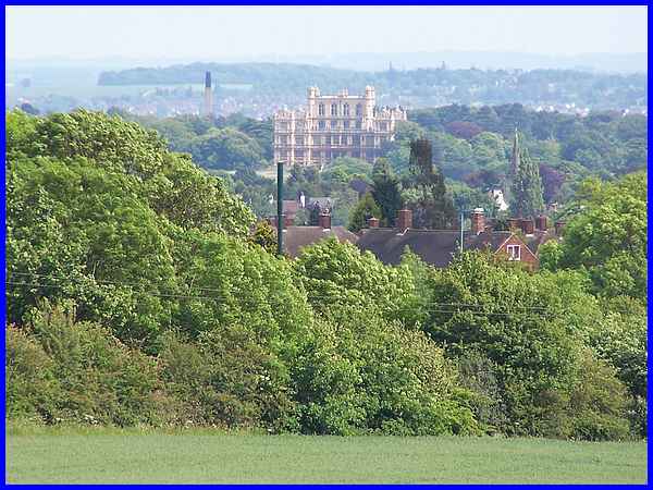
A large building is visible to the right along much of the path
and zooming in across the fields and the rooftops shows that
it is the impressive façade of Wollaton Hall. The large
chimney seen to the left of the Hall is in the grounds of the
University's Highfields campus.
|
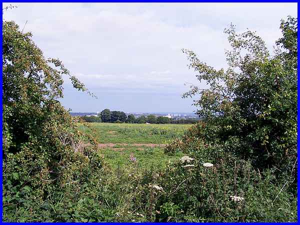
At a T-junction we need to turn in a northerly direction to reach
Strelley but a gap in the hedge at the junction reveals more
of Nottingham to the east over the suburbs of Bilborough and
Aspley.
|
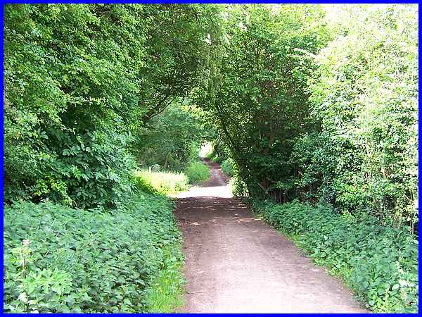
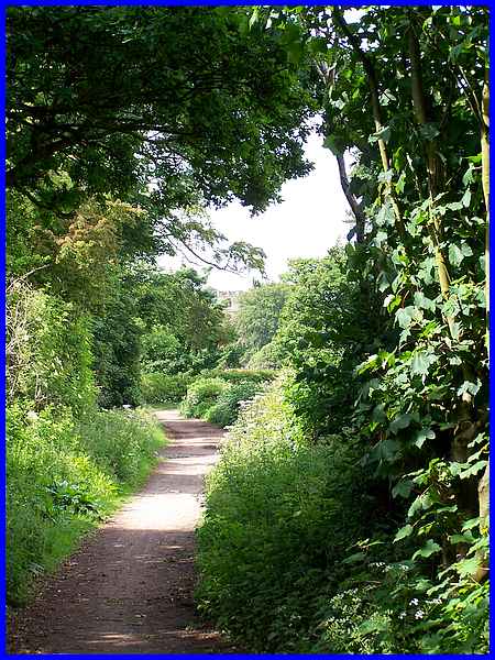
The dry conditions don't seem to have affected the grass, weeds,
hedges, trees and sundry plants too badly and the path from here
is flanked on both sides by plenty of green growth.
|
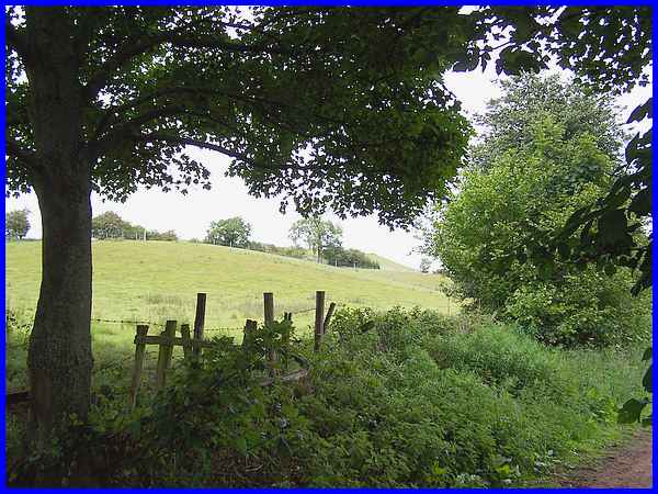
Along this section there are several of what I would call "scramble
paths" to the top of Catstone Hill but the official entrance
with vehicular access is a little further along towards Strelley.
|
The path continues to rise gently alongside Catstone Hill but
when it does level off, the first glimpse of the tower of the
church in Strelley comes into view and is just visible in the
centre of this image.
|
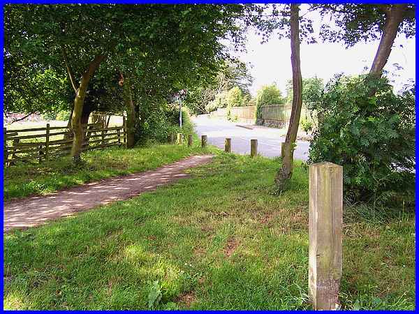
The path joins the main road into Strelley opposite the moat
and from here we continue along the Robin Hood Way through the
village along the same route as described elsewhere on this site
in Part 6
of The Monks Way series. In the next part of this walk we
will resume from where Part 6 ends to continue northwards to
Swingate.
|
