|
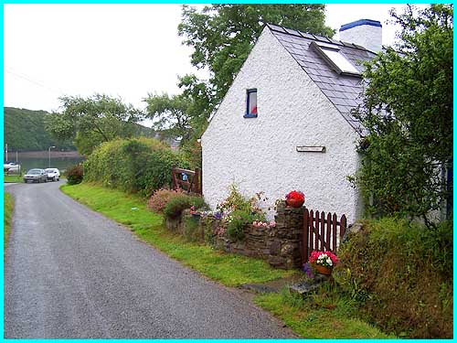
 The long lane from Llangwm arrives here at the water's edge but there is a small car park, little more than a lay-by really, before the end of the road. It had been a wet start to the day and we had decided an indoor attraction might be the best option for the morning. Having visited Scolton Manor previously (see our 2003 holiday) when rain had prevailed, we thought Picton Castle near Haverfordwest might be worth a try. |
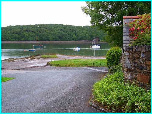
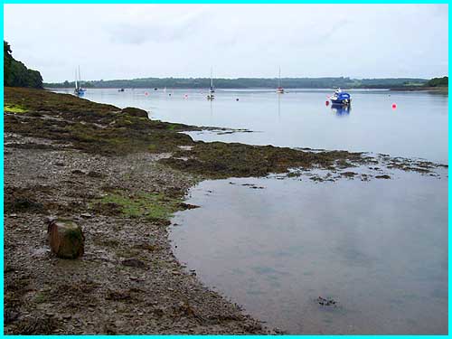
 Our journey of 20 miles or so to Picton Castle from Saundersfoot saw no let up in the rain and as we approached the Castle, a Garden Centre offering morning coffee provided a welcome diversion. This picture above from Blacktar Point is looking towards the village and quay on the opposite bank of Landshipping. |
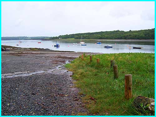
 The stretch of water in the opposite direction, again from Blacktar Point, is known as Beggars Reach but to continue my story, whilst drinking our morning coffee we discovered that only the ground floor of Picton Castle would be accessible to disabled visitors. As one of our party would need a wheelchair to get around we decided against a visit. |
 The gardens at Picton Castle have a very good reputation but the weather was hardly conducive to prolonged wanderings among the plants so "Plan B" was to continue into Haverfordwest. This picture above is along the Western Cleddau in the direction of that same town from Blacktar. |
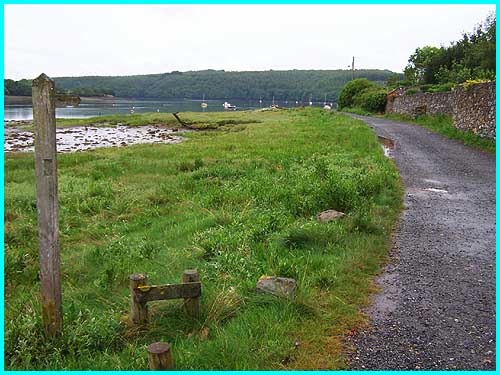
 We spent the rest of the morning dodging the spots and looking round the shops before buying something for lunch and heading off via minor roads towards Pembroke. A picnic site by the side of the river marked on the map failed to materialise and we were soon heading into Llangwm. That was when "Plan C" came into effect and another consultation of the map took us to Blacktar Point. On the opposite bank in the trees is part of the Landsker Borderlands Trail. |
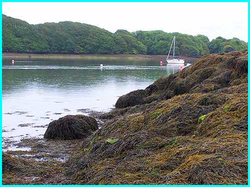 Landsker is a Norse word meaning frontier and the Borderlands Trail is a winding 60 mile walk through the Pembrokeshire/Carmarthenshire borderland to the east of the Cleddau estuary. Here on the western side the rocks at Blacktar Point are strewn with seaweed. Norman rulers built a number of castles in the west of Wales as protection for their lands and an imaginary border linking the castles became known as the Landsker Line. The Landsker Line supposedly marks the boundary between the Welsh speakers to the north east and the English linguists of the south west. |
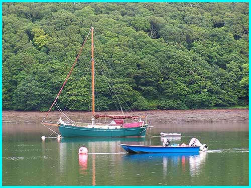
  As
the rain came down again, I was the only person of either language
at the edge of the Cleddau and I quickly made my way past these
boats left high and not so dry because of the precipitation.
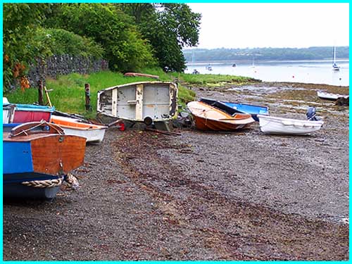
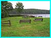
The deserted picnic area (left) would be a delightful spot on
a fine day but, guess what? The weather didn't clear up until
we arrived back in Saundersfoot where we spent the rest of the
afternoon in the sea front sunshine chatting to some of those
Welsh speakers who, thankfully these days, could also converse
in English. As
the rain came down again, I was the only person of either language
at the edge of the Cleddau and I quickly made my way past these
boats left high and not so dry because of the precipitation.
The deserted picnic area (left) would be a delightful spot on
a fine day but, guess what? The weather didn't clear up until
we arrived back in Saundersfoot where we spent the rest of the
afternoon in the sea front sunshine chatting to some of those
Welsh speakers who, thankfully these days, could also converse
in English.
|