|
 There are steep paths down to a sandy cove beneath the crumbling cliffs at Skrinkle Haven but I chose to walk in the opposite direction after lunch towards Lydstep Point to view some of the spectacular scenery that this part of the Pembrokeshire coast is renowned for. |
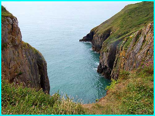
 Standing above this cleft in the coastline it is easy to see why the area has been designated a National Park. |
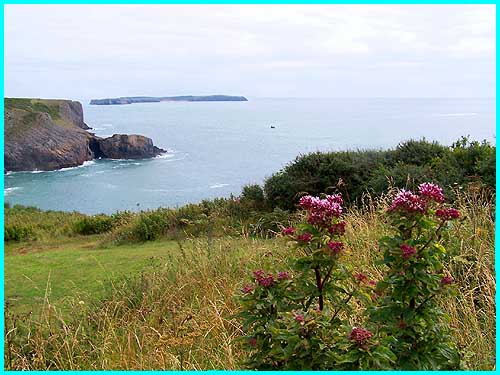
 The sandy beach and the headland in the distance seen from here are actually on Caldey Island and the rock formation in the foreground is Lydstep Point. |
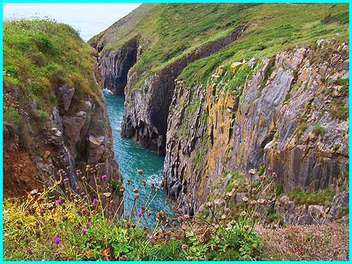
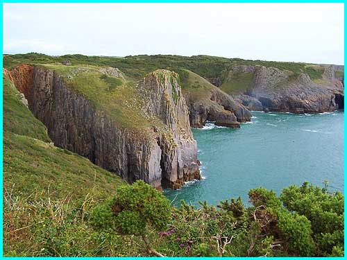 Skrinkle Haven lies on the boundary between old red sandstone and carboniferous limestone and movements in the earth's crust have resulted in the vertical strata formations seen here today. |
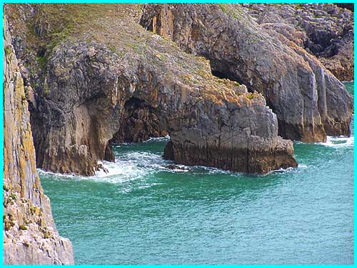 Erosion by the constant battering of the sea has also creation many caverns, caves and stacks and this is just one of several arches along this stretch of the coast. |
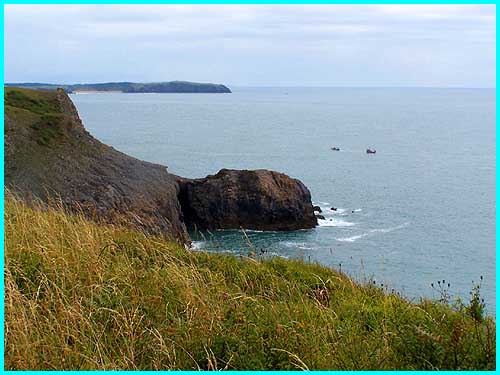
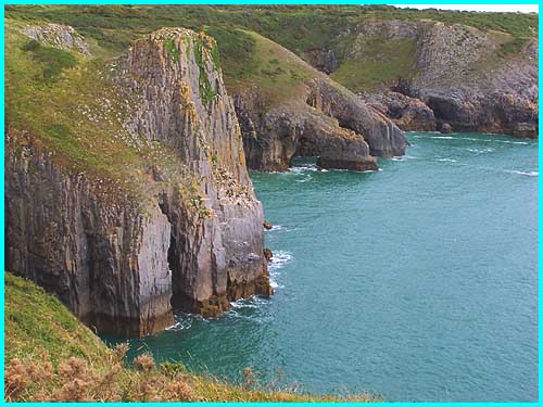 This is just another view of the coastal scenery but shows the rocky promontory where I had walked to take some of the other photos above. |
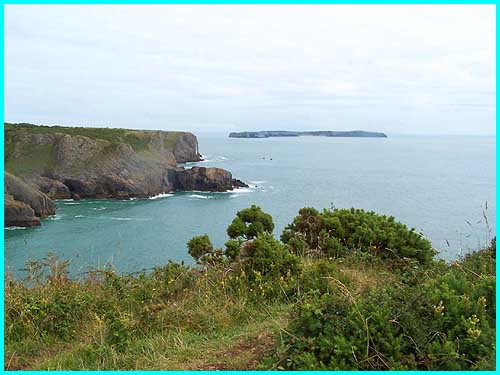 From almost back at the car park where a grassy spot has been transformed into a picnic area for visitors the beach on Caldey Island can easily be seen. Although the island can also be seen from Tenby, it is the other side and the beach area is out of sight. It is said that on a clear day, Lundy Island, way out in the Bristol Channel, can be seen from here. The specks in the sea in the middle of this picture were two small boats moving around Lydstep Point.
|