Cotmanhay Loop - Part 03
w/e 19 May 2024
All of this week's
pictures were taken with a Nikon D3300
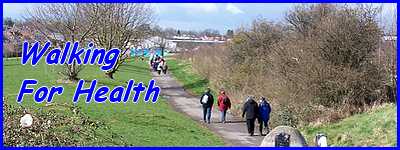
This concluding part of the
Walking For Health route is probably the pleasantest section
of the walk as the majority of it is along the towpath of the
Erewash Canal.
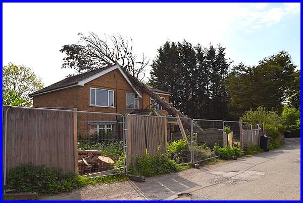
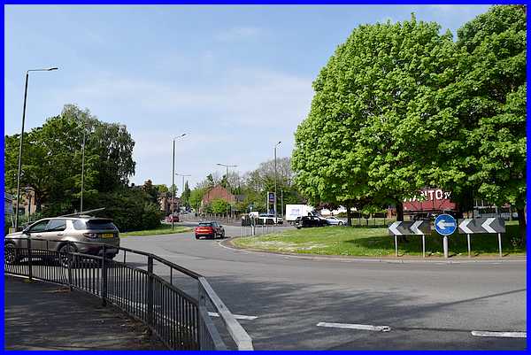
We pick up the route though where Duke Street swings round to
join Awsworth Road and we were met with this unexpected sight
of a fallen tree. When this happened we don't know but we certainly
don't remember it from when we regularly walked this route with
the WFH group some years ago.
|
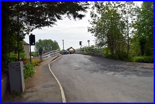
On reaching Awsworth Road we turned left to cross the hump-backed
bridge over the Erewash Canal.
|
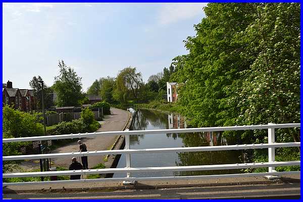
From the bridge the start of the route along the canal towpath
lay before us.
|
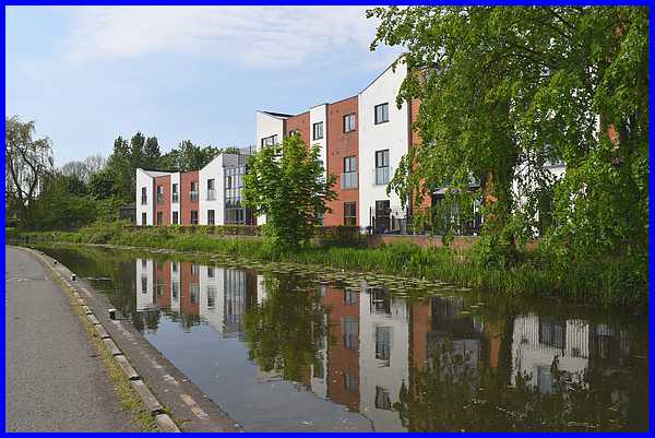
Once on the towpath the dominant feature on the other side of
the canal is the Canal Vue Care Home which was built on the site
of the Bridge Inn and opened just over 10 years ago in March
2014.
|
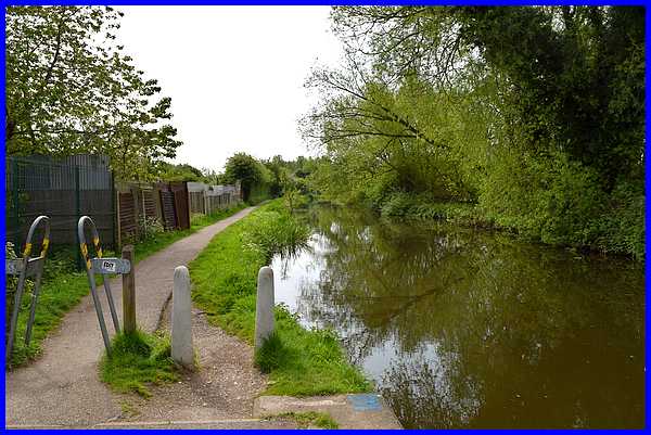
There are a few dwellings on the left hand side of the towpath
which is wide enough to enable vehicles to access them for about
half the distance walked along the towpath. Then there is a squeeze
stile and the towpath narrows allowing access for pedestrians
and cyclists only.
|
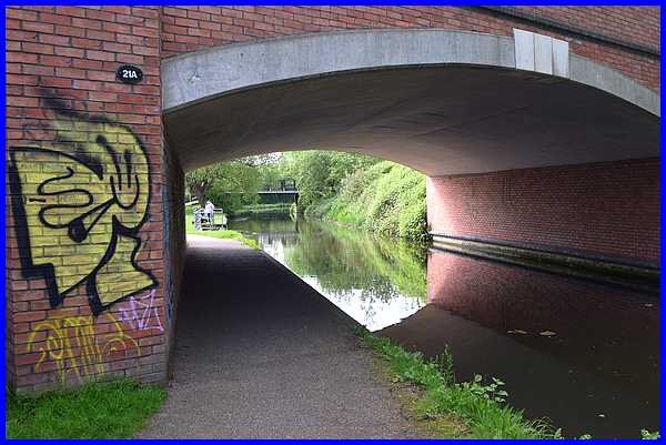
In another 300 yards or so, the canal is crossed by Bridge 21A
which carries Millership Way over the canal.
|
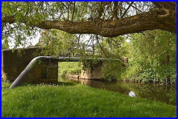
And just beyond the Millership Way bridge our route continues
over the footbridge to Wash Meadows, more commonly known as Johnny's.
|
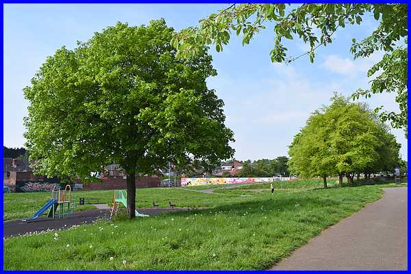
From Johnny's we varied the WFH route which crosses to the far
corner to follow a footpath from the end of the painted wall,
between the built up area and by the left hand side of the Tesco
site to Chalons Way.
|
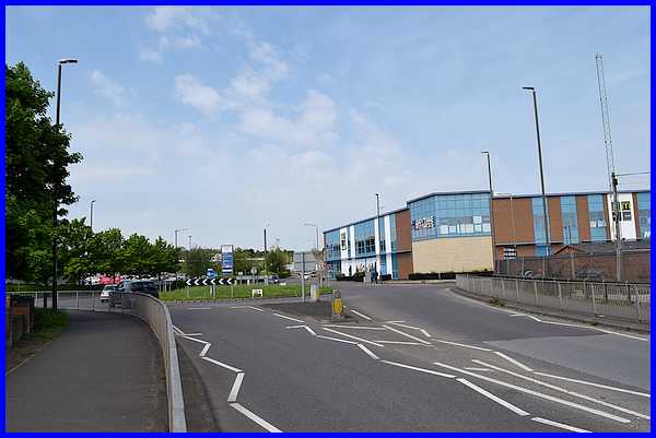
Instead we exited Johnny's to Millership Way and continued on
Rutland Street along the right hand side of the Tesco site.
|
Whether using the WFH route or the alternative
all that remains to complete the walk is to negotiate Chalons
Way and Bath Street to access the hill up Manners Road back to
the Victoria Park Leisure Centre.
Route Map
|
