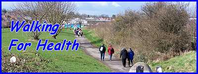
The Elvaston Circuit - Part 01
w/e 12 April 2015
All of this week's pictures were
taken with a Kodak DX6490
If there had been a leaflet for this route it could
easily have been included in the Country Walks or even Family
Walks section of the site. As there isn't a leaflet the Miscellaneous
Walks section was an option but as it is only a touch over three
miles in length along generally flat ground with no stiles, it
fulfils the necessary requirements for a Health Walk and is in
fact very similar to a route we followed with the Monday Strollers
back in 2007. That walk was in drizzly conditions in April of
that year but this time, again in April, we were fortunate enough
to pick a warm sunny spring afternoon.
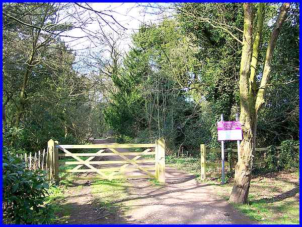
We left the car park at Elvaston Castle Country Park and took
a path between the trees alongside the road heading north towards
Borrowash.
|
  The path leads
to Bedford Drive (left) into the park but we turned right to
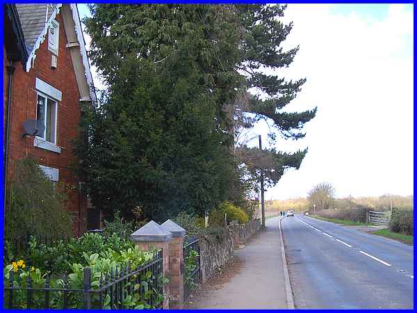
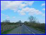
the main road at Woodside (above). From there we turned left
to continue northwards towards Borrowash along the B5010 (right).
Just before the traffic lights controlling traffic flow across
Borrowash Bridge over the River Derwent a farm track leads off
to the left and next to this is a pedestrian and cycle path. The path leads
to Bedford Drive (left) into the park but we turned right to
the main road at Woodside (above). From there we turned left
to continue northwards towards Borrowash along the B5010 (right).
Just before the traffic lights controlling traffic flow across
Borrowash Bridge over the River Derwent a farm track leads off
to the left and next to this is a pedestrian and cycle path.
|
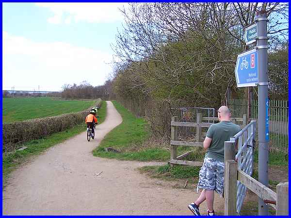
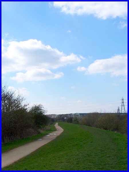
The path is part of the National Cycle Path Route 6 and we followed
this for about half a mile. The farm track is to the right of
the hedge.
|
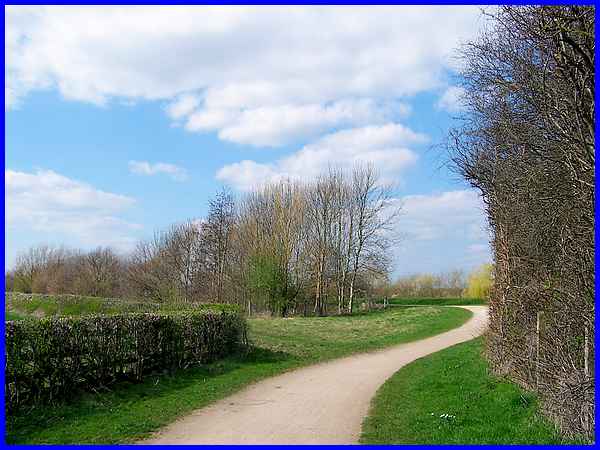
Approximately half way along our walk on this path, it swings
round and rises slightly towards the river.
|
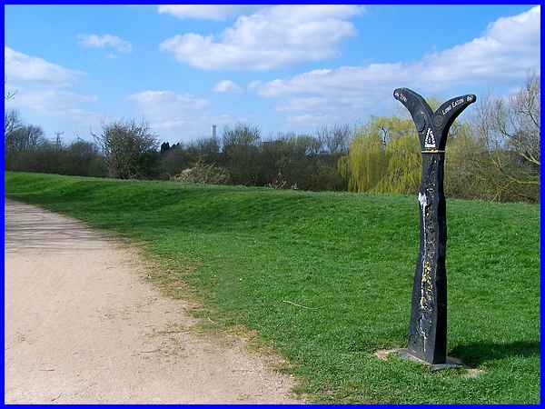
A flood bank separates the path from the river and a distinctive
signpost points back to Long Eaton along the path and shows the
Derby city centre is only four miles away in the other direction.
|
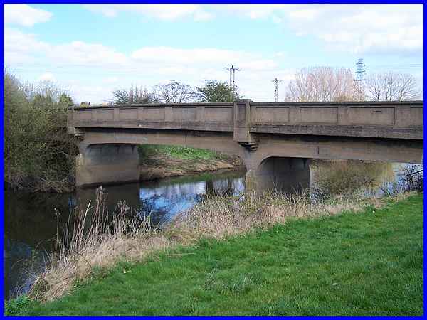
As well as the pedestrian/cycle path swinging towards the river,
the farm track does too and actually crosses the river via this
concrete bridge to continue on its way to Home Farm.
|
For the rest of the walk by the river I opted like many before
me, to stay on the top of the flood bank which also meant I didn't
have to be on the lookout for bikes coming up behind me!
|
Standing out on the skyline are two wind turbines that made the
news when they were installed as they interfered with air traffic
control at East Midlands Airport a few miles away. Presumably
the problem has now been resolved as the blades on one of the
turbines were turning in the breeze. Industrial buildings on
the former Spondon Celanese site can also be seen in the distance.
|
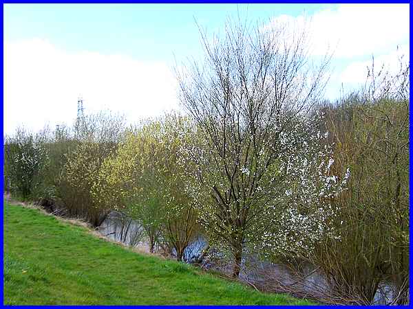
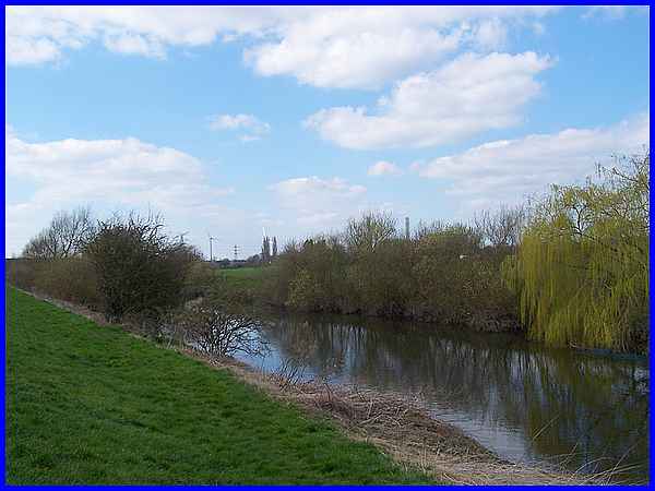
The river along this stretch is actually a cut by-passing the
Power Station site to the north. Electricity pylons carrying
high voltage lines radiate from the site but much of the industrial
landscape beyond the farmland on the other side of the river
is obscured by the trees, currently in blossom, on the river
bank.
|
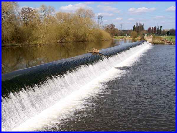
The cut was dug to cross a loop in the meandering River Derwent,
the natural route of which continues to the north from the weir.
It's aim was to maintain a constant water depth for the industry
to the north where it was used in the cooling process during
the production of electricity at the Power Station. There were
four concrete cooling towers at the Spondon A and H Power Stations
but these were demolished in 1984 and the new Derwent Power Station
was built on the same site.
Forward to Part 02
To see a map/aerial view of the whole route in a new window follow
this link.
|
