West Hallam Walk No. 2 - Part 02
w/e 28 April 2013
All this week's pictures were taken
with a Kodak DX6490
Continuing the circular route from Stanley Village
back to West Hallam ....
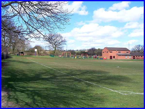
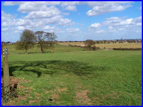
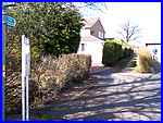  We walked through
Stanley Village along Station Road as far as the corner where
we turned right at the footpath signpost to follow the track
(left) between the houses to pass through the gate at the top
and reach the playing field behind (above). Keeping to the hedge
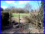
on the left we crossed the playing field and climbed the stile
(right) in the corner and into the next field. We walked through
Stanley Village along Station Road as far as the corner where
we turned right at the footpath signpost to follow the track
(left) between the houses to pass through the gate at the top
and reach the playing field behind (above). Keeping to the hedge
on the left we crossed the playing field and climbed the stile
(right) in the corner and into the next field.
|
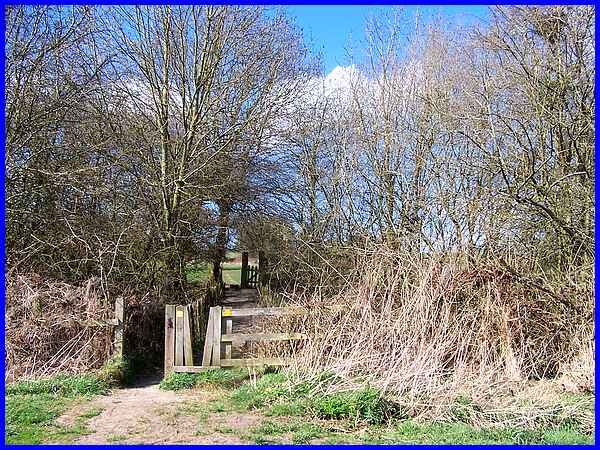
Crossing diagonally over the field we reached a couple of squeeze
stiles that mark the route of the former LNER railway line that
once passed here.
|
Another diagonal path leads across the next field which according
to the leaflet is to a stile and footbridge over a water course.
|
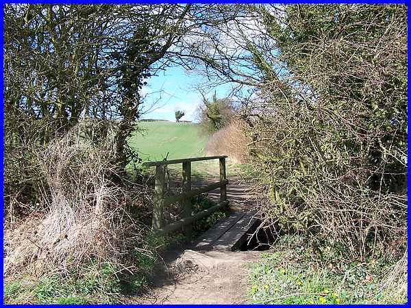
Since the leaflet was published in 1998, the stile has disappeared
but the footbridge over the water still exists.
|
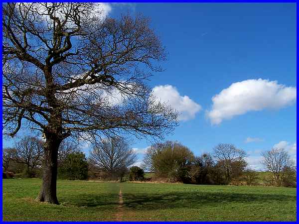
Near the start of the walk in West Hallam we walked down the
slope to The Grange and since then the route has been generally
over level ground but now we must begin the climb back up to
higher ground. It doesn't look like much of a hill but it does
get steeper nearer the top and with the wind blowing a gale and
the sun beating down, we did have to pause near the tree at the
top to catch our breath.
|
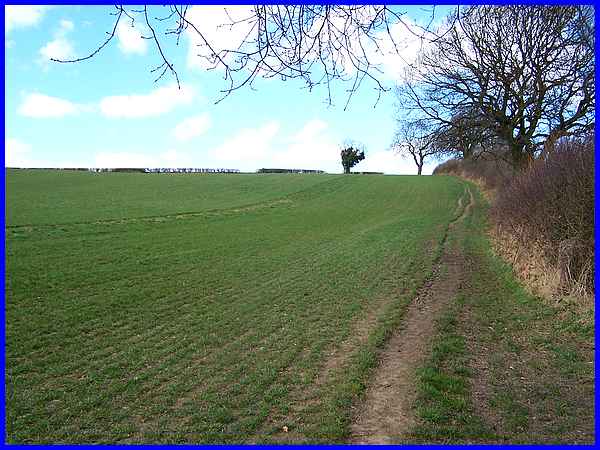
A pause was all it was though as at this high point the wind
felt stronger than ever. This is actually at the meeting point
of four paths so we turned right and headed for the corner of
the next field and continued up the hedgeline towards the distant
houses in West Hallam.
|
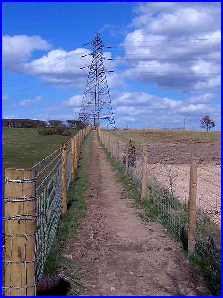
Again according to the leaflet we were to follow the hedgeline
on the right up to the pylon but the path is now delineated by
fences on either side.
|
At the pylon we are told to "pass to the right .... to the
fence on the other side of the field" which is what we did
except there are two diagonal paths across the field. The more
obvious shorter one leads to a gate in the fence and the path
continues with a fence on the right. It was here that I suspected
that something was not quite right as the leaflet said the fence
should be on the left! Nevertheless we continued and soon reached
Bagot Street and a right turn into Station Road took us to the
White Hart pub.
|
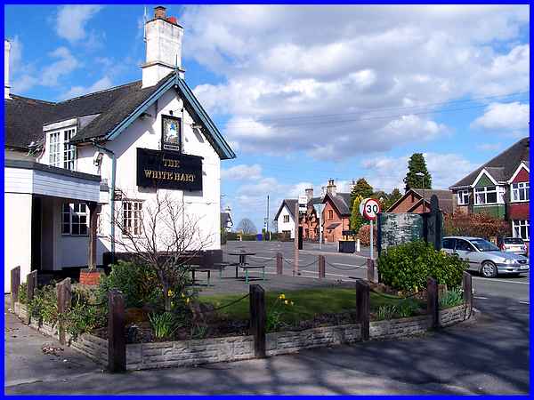
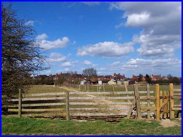
A second but less obvious path takes a longer diagonal across
the field and is the one we should have followed which would
have eventually brought us out at the side of the Whit Hart (above).
Our unexpected diversion had added about half a mile to the route
but once back on track we carefully crossed Cat and Fiddle Lane
(the pub is on a blind corner) and entered Beech Lane opposite.
|
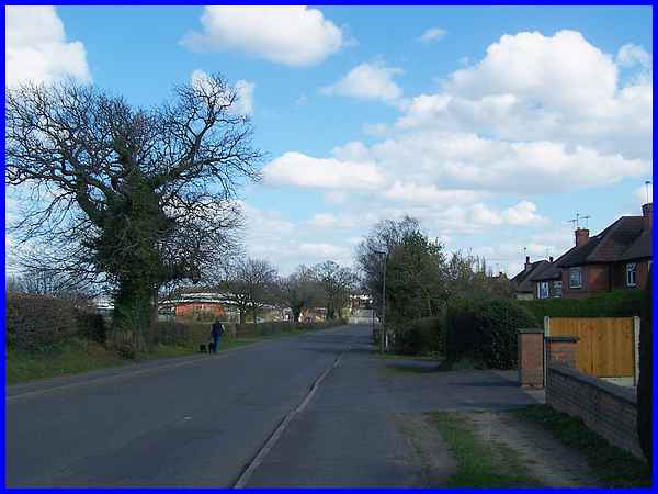
From there it was a simple matter of following Beech Lane past
the playing fields and Scargill School back to the Dales shopping
area in the village centre. For a closer look at Beech Lane see
this
page from June 2003 and to see an aerial view of the entire
route of this Family Walk click here.
The answers to the questions posed in Part 01 are: Q1 - The old
school was built in 1832; Q2 - The trees lining the path are
Limes and Q3 - The railway line linked Derby and Ilkeston.
|
