The Walk In The Clouds - Part 03
w/e 19 September 2010
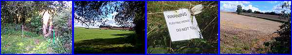
All this week's pictures were taken
with a Kodak DX6490
This concluding third of the walk from Risley Lodge Farm back
to Sandiacre Library is, in truth, slightly longer than the opening
two parts but the majority of it is across arable farm land so
I have tried to pick out some of the salient points rather than
just show one field that looks very much like another. After
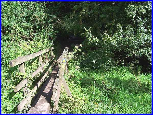
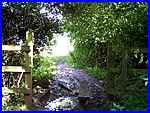
skirting the farm, the route crosses a bridleway and drops downhill
to a footbridge over a brook. Here we turn left to follow the
path between the hedge on the right and an electric fence to
the left marked by a number of warning notices. After climbing
over a couple of stiles the path runs around the edge of another
field and turns back uphill.
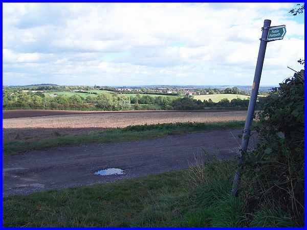
The path rejoins the bridleway and offers a good view over Risley
towards Sandiacre, our ultimate destination.
|
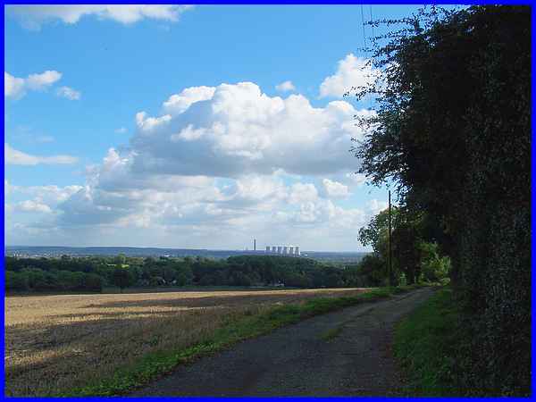
Turning right to follow the bridleway the ever present Power
Station at Ratcliffe On Soar once again is the main feature to
be seen in the distance.
|
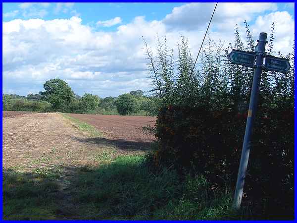
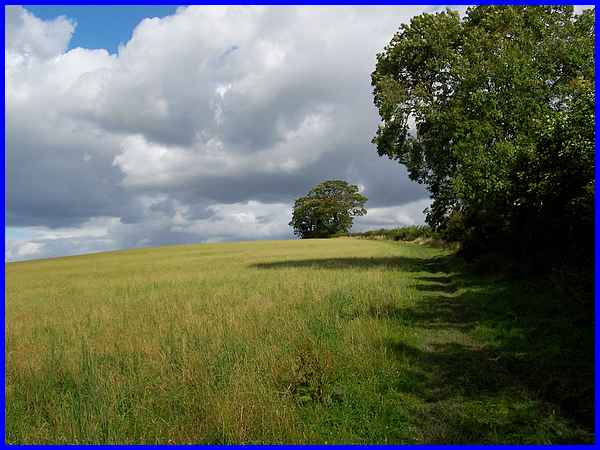
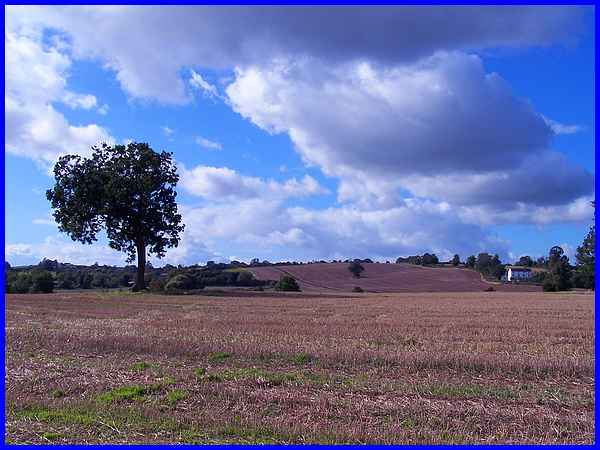
Before reaching the first house in Risley another path meets
the bridleway and this is the one we must follow across the field
heading for the prominent tree. From the footbridge over the
brook to this point our Walk In The Clouds has been sharing the
same route as the long distance footpath known as the Midshires
Way.
|
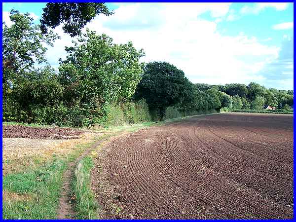
From the tree the path swings round to follow the hedgeline heading
for the rear of the properties near the church at Risley. You
can see more of the village and the church from a previous visit
in 2008 - click
here.
|
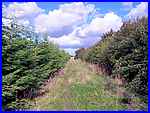
  At the corner of the field we enter Risley
Nature Reserve which is leased by the Derbyshire Wildlife Trust
and is part of the glebe attached to the church. The leaflet
for this walk says that unusual plant species to be found here
include marsh arrow grass, fleabane, lady's mantle and adder's
tongue - but I wouldn't recognise them if I saw them! So crossing
the brook we continue onwards and upwards. At the corner of the field we enter Risley
Nature Reserve which is leased by the Derbyshire Wildlife Trust
and is part of the glebe attached to the church. The leaflet
for this walk says that unusual plant species to be found here
include marsh arrow grass, fleabane, lady's mantle and adder's
tongue - but I wouldn't recognise them if I saw them! So crossing
the brook we continue onwards and upwards.
|
At the end of Part 2 I said that the route continued downwards
to Risley and Sandiacre but in this undulating country for every
"down" there is also an "up"and after leaving
the Nature Reserve we meet the second "up" in this
section.
|
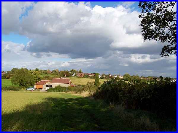
At the brow of the hill a property called The Nook comes into
view easily identified by large letters on the gate. Dropping
down again to The Nook, the path passes to the left of the property
and follows the field boundary to Rushy Lane in the distance.
|
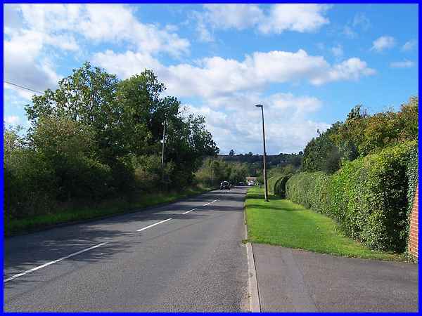
At Rushy Lane we briefly leave the fields to cross the road and
follow the grass verge to pick up another footpath a little further
down on the right.
|
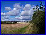  This
path crosses more of the rural landscape first with a hedge on
the right, then both sides and finally an open field. This is
a good place to pause and review some of the route already walked
(above). Beyond The Hewarths, (the white building) is the high
point of the walk on No Man's Lane. Centre left is Maywood Golf
Course and Risley Lodge Farm is visible on the skyline directly
below the left extremity of the tree. This
path crosses more of the rural landscape first with a hedge on
the right, then both sides and finally an open field. This is
a good place to pause and review some of the route already walked
(above). Beyond The Hewarths, (the white building) is the high
point of the walk on No Man's Lane. Centre left is Maywood Golf
Course and Risley Lodge Farm is visible on the skyline directly
below the left extremity of the tree.
|
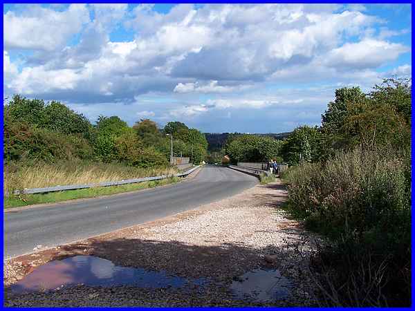
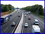  Our walk is now nearing
its end and the path soon leads on to Stanton Road where a right
turn takes us over the motorway bridge. This section of the motorway
has recently been widened to four lanes each way and the traffic
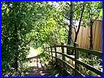
noise is incessant but immediately after crossing the bridge
another footpath takes us down some steps and along a path at
the side of the motorway into a housing estate at Sandiacre from
where the leaflet tells us to wend our way through the estate
back to the library and "If you keep going downhill then
you won't go far wrong." Our walk is now nearing
its end and the path soon leads on to Stanton Road where a right
turn takes us over the motorway bridge. This section of the motorway
has recently been widened to four lanes each way and the traffic
noise is incessant but immediately after crossing the bridge
another footpath takes us down some steps and along a path at
the side of the motorway into a housing estate at Sandiacre from
where the leaflet tells us to wend our way through the estate
back to the library and "If you keep going downhill then
you won't go far wrong."
|
