Bramcote Hills/Nottingham Canal Circular - Part 02
w/e 11 September 2011
All this week's pictures were taken
with a Kodak DX6490
We started our walk in Bramcote Hills Park and the
first section took us across Coventry Lane to the Hemlock Stone
and Stapleford Hill and then on to the Pit Lane Recreation Ground
at Trowell. This second part of approximately one mile returned
us back to, and across, Coventry Lane by an alternative route.
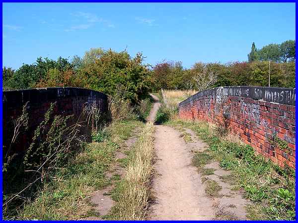
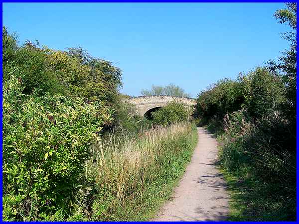
We left the Pit Lane Recreation Ground by going over the railway
bridge and up the track to the Nottingham Canal which is just
beyond the hedge in this view.
|
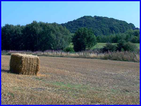
Before reaching the canal we looked back across the harvested
field to the wooded mound of Stapleford Hill that we had walked
around earlier.
|
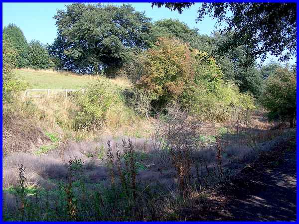
If you were expecting to see narrow boats, locks and watery reflections
on the Nottingham Canal, I'm afraid you'll be terribly disappointed
as this view is typical of the canal for the whole of this section.
In fact in other parts where opencasting has taken place the
canal has disappeared altogether.
|
The canal between Langley Mill and Nottingham stretched for nearly
fifteen miles and opened in 1796 but closed in the 1930s. This
bridge connecting the fields of a farm still exists but even
this does not appear to be in use now as on the far side, a track
across the canal has been created to provide the same access.
|
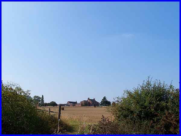
And it's on the far side of the bridge that this view of the
distant Swancar Farm can be seen on the northern side of the
canal through the gap in the hedge where the track passes through.
|
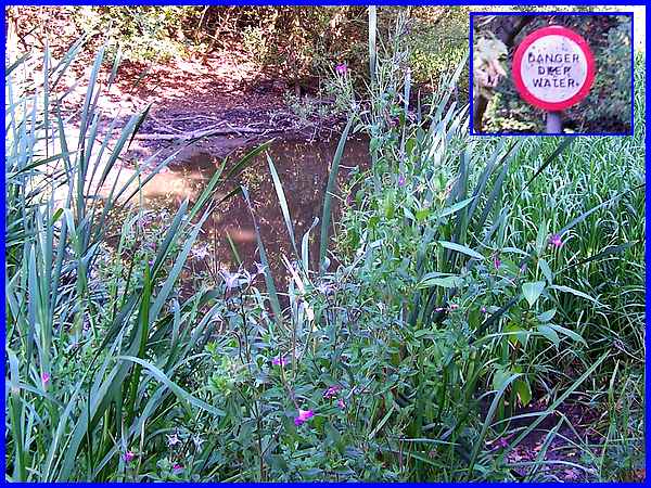
We did find some water in the canal bed though but it was little
more than a puddle. The adjacent "Deep Water" sign
(see the pole to which it was attached at the top of the main
image) made us smile but it has been a dry summer and maybe the
levels do rise when it rains. I still think the canal would have
to be dug out again for the sign to ring true!
|
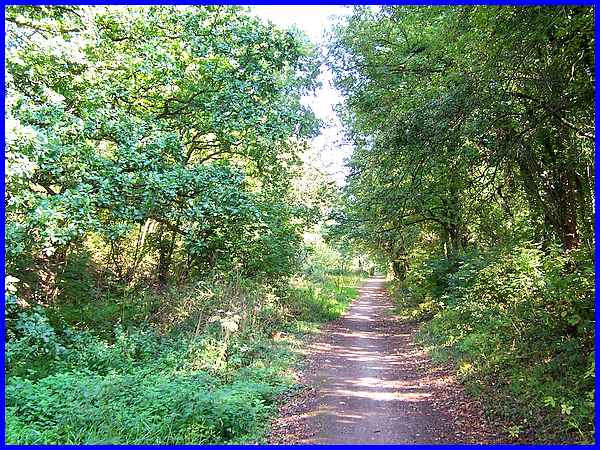
As we approached Coventry Lane, the canal bed became even more
overgrown and even trees were growing in it so that if you didn't
know better, you would never know that we were walking along
a towpath. It was really difficult to imagine a time when narrow
boats and barges would be toting their wares along here. One
part of me would have loved to have seen them but another appreciates
the hard lives endured by workers of that time and I'm grateful
for all the advances that have been made in the interim and that
we can still enjoy walks along what remains of the canal workers'
endeavours.
|
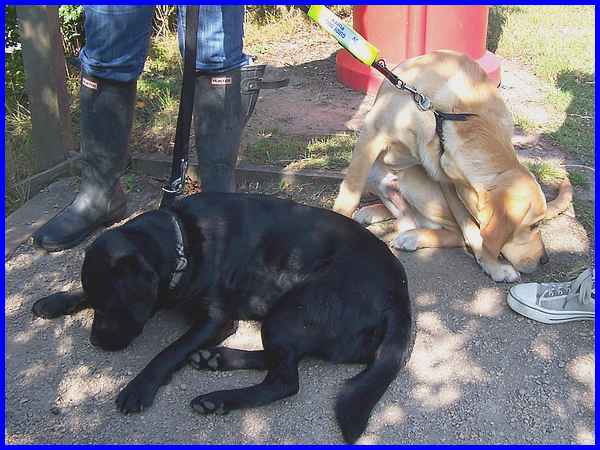
We ascended a flight of steps to reach Coventry Lane where we
met a lady with two dogs, one of them a Guide Dog in training,
going in the opposite direction. While we chatted the dogs took
the opportunity to relax in the shade in what had become a really
warm and sunny afternoon.
|
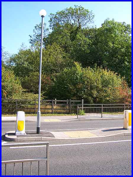
Coventry Lane is part of the ring road around the edge of Nottingham
and is often busy with fast moving traffic. Surprisingly with
the aid of the pedestrian refuge, it was easy to cross and continue
along the footpath opposite.
|
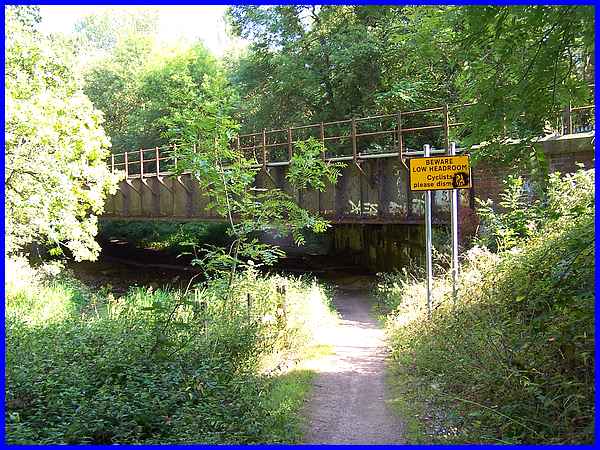
That path led down to follow the canal route again and under
the same railway line that we had crossed over earlier at the
start of this second mile of the three mile route. The "Low
Headroom" sign was correct as the height of the bridge above
the path was not much over six feet (1.8m). Once under the bridge
we began the final section of the walk which returned us to Bramcote
Hills Park - and that will follow in Part 3.
|
